File:Bing imagery boundaries for Colombia.png
Jump to navigation
Jump to search

Size of this preview: 449 × 599 pixels. Other resolutions: 180 × 240 pixels | 616 × 822 pixels.
Original file (616 × 822 pixels, file size: 30 KB, MIME type: image/png)
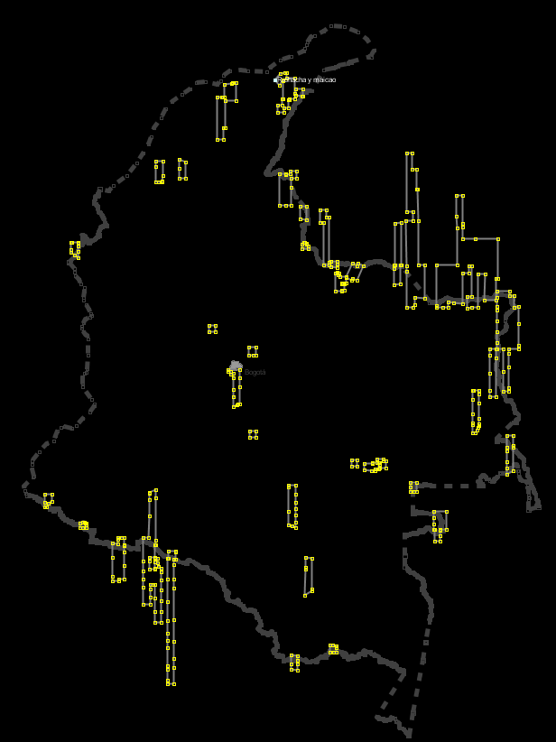
Screenshot of JOSM showing ways for boundaries of Bing Imagery in Colombia, with the Colombia National Boundary shown as an inactive layer. Colombia boundary relation depicted is http://www.openstreetmap.org/browse/relation/120027 . Relation collecting imagery boundary ways is http://www.openstreetmap.org/browse/relation/1390025 .
Licensing
![]()
This image or logo only consists of typefaces, individual words, slogans, or simple geometric shapes. These are not eligible for copyright alone because they are not original enough, and thus the image is considered to be in the public domain.
See Public domain or Restricted materials on Wikipedia for more information.
Please note: The public domain status of this work is only in regards to its copyright status. There may be other intellectual property restrictions protecting this image, such as trademarks or design patents if it is a logo.
See
Please note: The public domain status of this work is only in regards to its copyright status. There may be other intellectual property restrictions protecting this image, such as trademarks or design patents if it is a logo.
File history
Click on a date/time to view the file as it appeared at that time.
| Date/Time | Thumbnail | Dimensions | User | Comment | |
|---|---|---|---|---|---|
| current | 03:01, 24 January 2011 | | 616 × 822 (30 KB) | Ceyockey (talk | contribs) | updated for more way additions to relation. {{PD-creator|ceyockey}} |
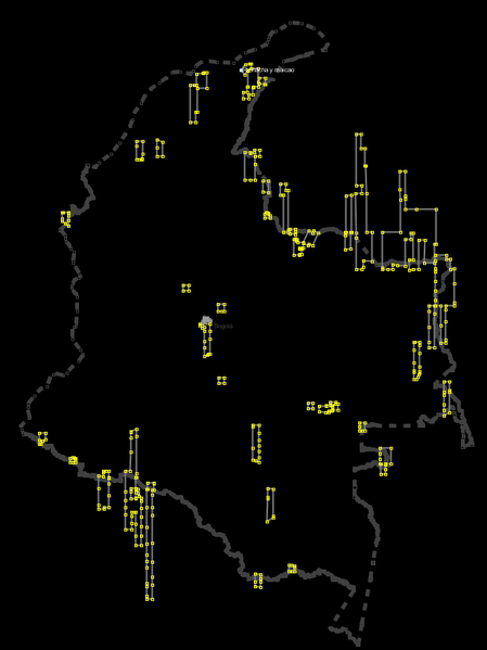
| 22:52, 23 January 2011 | 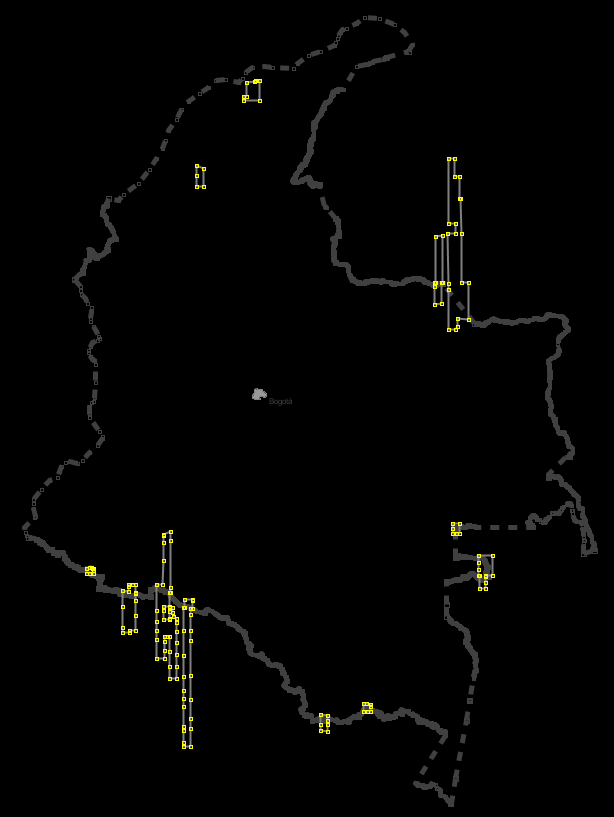 | 614 × 817 (22 KB) | Ceyockey (talk | contribs) | screenshot of JOSM showing ways for boundaries of Bing Imagery in Colombia, with the Colombia National Boundary shown as an inactive layer. {{PD-creator|ceyockey}} |
You cannot overwrite this file.
File usage
The following page uses this file: