File:Bochum.svg
Jump to navigation
Jump to search


Size of this PNG preview of this SVG file: 800 × 590 pixels. Other resolutions: 320 × 236 pixels | 640 × 472 pixels | 1,024 × 755 pixels | 1,280 × 944 pixels | 2,268 × 1,672 pixels.
Original file (SVG file, nominally 2,268 × 1,672 pixels, file size: 4.36 MB)
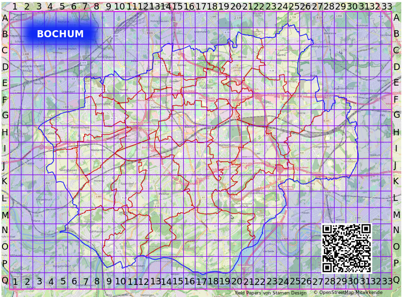
Bochum Fieldpapers Atlas-4fxtuoyv
File history
Click on a date/time to view the file as it appeared at that time.
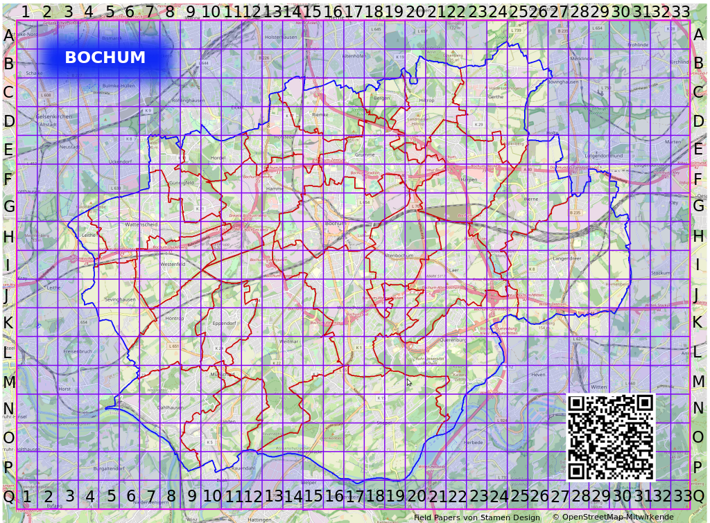
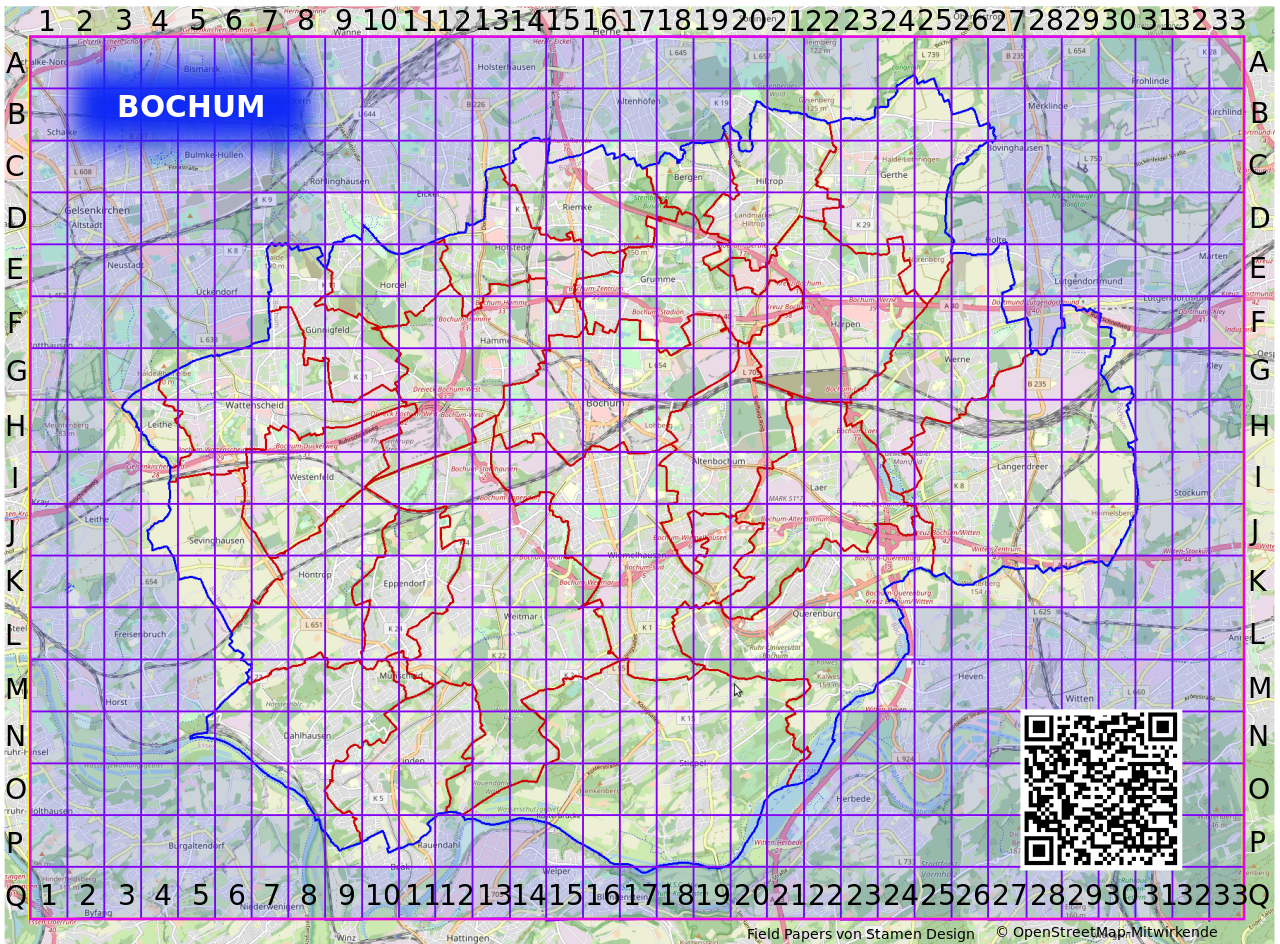
| Date/Time | Thumbnail | Dimensions | User | Comment | |
|---|---|---|---|---|---|
| current | 17:44, 7 May 2020 | | 2,268 × 1,672 (4.36 MB) | Gmbo (talk | contribs) | Logo wegen unzureichender Klarheit entfernt |
| 20:45, 4 May 2020 |  | 2,268 × 1,672 (4.36 MB) | Gmbo (talk | contribs) | Bochum hervorgehoben und Fieldpapers QR-Code hinzugefügt | |
| 15:19, 30 April 2020 |  | 2,253 × 1,661 (4.31 MB) | Gmbo (talk | contribs) | Stadteilgrenzen zugefügt | |
| 23:42, 27 April 2020 |  | 1,125 × 825 (1.32 MB) | Gmbo (talk | contribs) |
You cannot overwrite this file.
File usage
The following page uses this file: