File:BorderITSLO.jpg
Jump to navigation
Jump to search


Size of this preview: 800 × 600 pixels. Other resolutions: 320 × 240 pixels | 640 × 480 pixels | 1,024 × 768 pixels.
Original file (1,024 × 768 pixels, file size: 455 KB, MIME type: image/jpeg)
This file and its description are from Wikimedia Commons.
| Description |
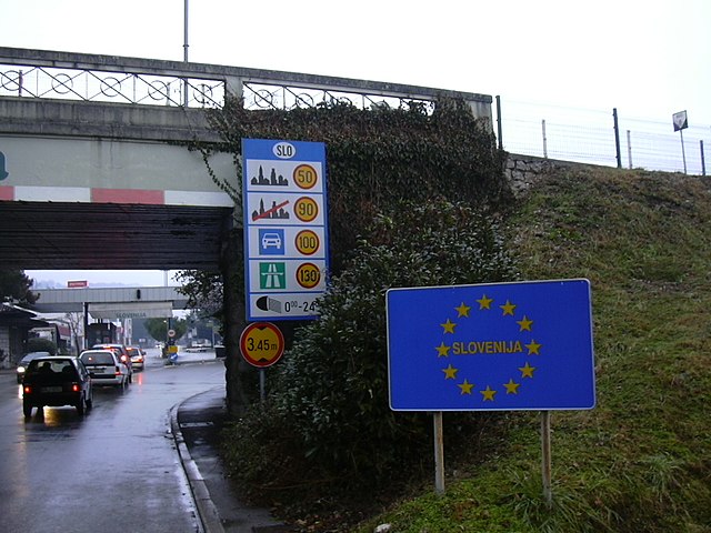
English: The border between Italy (Gorizia) and Slovenia (Nova Gorica).
Italiano: il valico di Casa Rossa: il confine di stato tra Gorizia (Italia) e Nova Gorica (Slovenia)
Deutsch: Grenze zwischen Gorizia (Italien) und Rožna Dolina, Nova Gorica (Slowenien) vor Inkrafttreten des Schengen-Abkommens |
||
| Date | |||
| Source | Own work | ||
| Author | User:Dantadd | ||
| Permission (Reusing this file) |
|
| Camera location | | View this and other nearby images on: OpenStreetMap |
|---|
File history
Click on a date/time to view the file as it appeared at that time.
| Date/Time | Thumbnail | Dimensions | User | Comment | |
|---|---|---|---|---|---|
| current | 23:55, 1 December 2006 | | 1,024 × 768 (455 KB) | wikimediacommons>Dantadd | The border between Italy (Gorizia) and Slovenia (Nova Gorica), january 2006 (taken by myself) Category:Gorizia Category:Slovenia Category:Road signs |
File usage
There are no pages that use this file.