File:Botley.png
Jump to navigation
Jump to search

No higher resolution available.
Botley.png (434 × 424 pixels, file size: 70 KB, MIME type: image/png)
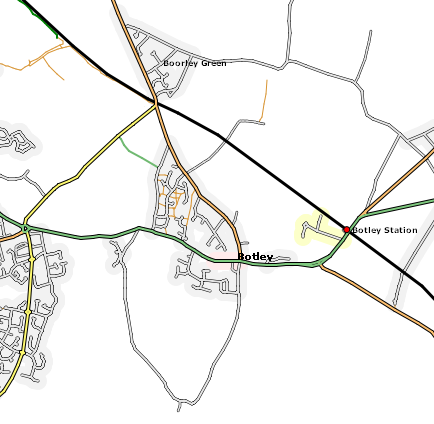
OSMARender map of Botley
![]()
Contains map data © OpenStreetMap contributors, made available under the terms of the Creative Commons Attribution-ShareAlike 2.0 (CC-BY-SA-2.0).
File history
Click on a date/time to view the file as it appeared at that time.
| Date/Time | Thumbnail | Dimensions | User | Comment | |
|---|---|---|---|---|---|
| current | 13:50, 6 January 2007 | | 434 × 424 (70 KB) | Deanna Earley (talk | contribs) | Wrong file... |
| 13:44, 6 January 2007 |  | 364 × 420 (52 KB) | Deanna Earley (talk | contribs) | Botley and Boorley Green as of the 6th of January 2007 | |
| 23:39, 7 September 2006 | 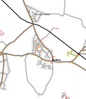 | 364 × 420 (52 KB) | Deanna Earley (talk | contribs) | Botley and Boorley Green as of the 7th of September, 2006 | |
| 21:23, 18 June 2006 | 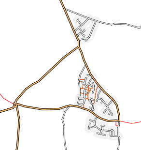 | 292 × 310 (27 KB) | Deanna Earley (talk | contribs) | OSMARender map of Botley |
You cannot overwrite this file.
File usage
The following page uses this file: