File:Bp-baross g mapillary 2019-08-10.png
Jump to navigation
Jump to search

Size of this preview: 800 × 450 pixels. Other resolutions: 320 × 180 pixels | 640 × 360 pixels | 1,024 × 576 pixels | 1,280 × 720 pixels | 1,920 × 1,080 pixels.
Original file (1,920 × 1,080 pixels, file size: 1.07 MB, MIME type: image/png)
Summary
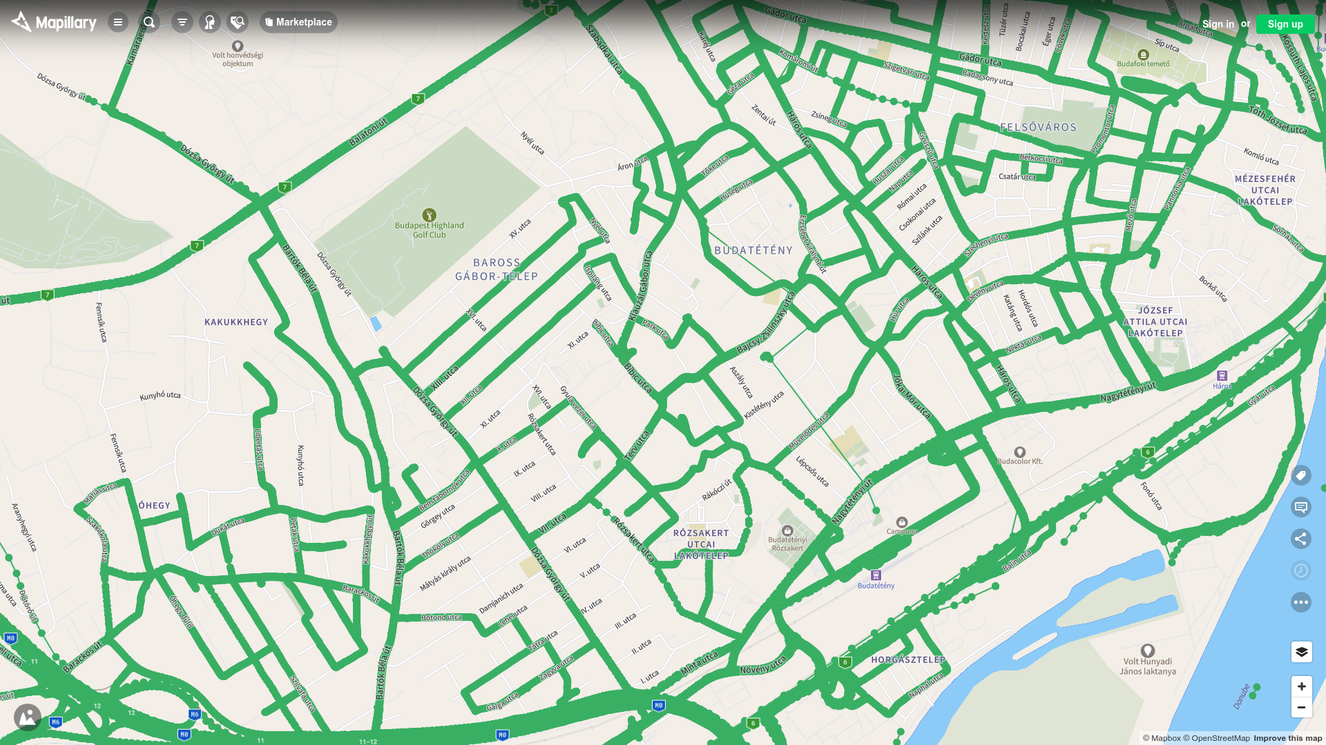
Mapillary coverage around Baross Gábor-telep in Budapest
Licensing
| Contains map data © OpenStreetMap contributors, made available under the terms of the Open Database License (ODbL).
The ODbL does not require any particular license for maps produced from ODbL data, produced maps may be subject also to other licences. |
File history
Click on a date/time to view the file as it appeared at that time.
| Date/Time | Thumbnail | Dimensions | User | Comment | |
|---|---|---|---|---|---|
| current | 19:31, 10 August 2019 | | 1,920 × 1,080 (1.07 MB) | Bkil (talk | contribs) | Mapillary coverage around Baross Gábor-telep in Budapest |
You cannot overwrite this file.
File usage
The following 2 pages use this file: