File:Brading.png
Jump to navigation
Jump to search

Size of this preview: 535 × 600 pixels. Other resolutions: 214 × 240 pixels | 428 × 480 pixels | 1,000 × 1,121 pixels.
Original file (1,000 × 1,121 pixels, file size: 85 KB, MIME type: image/png)
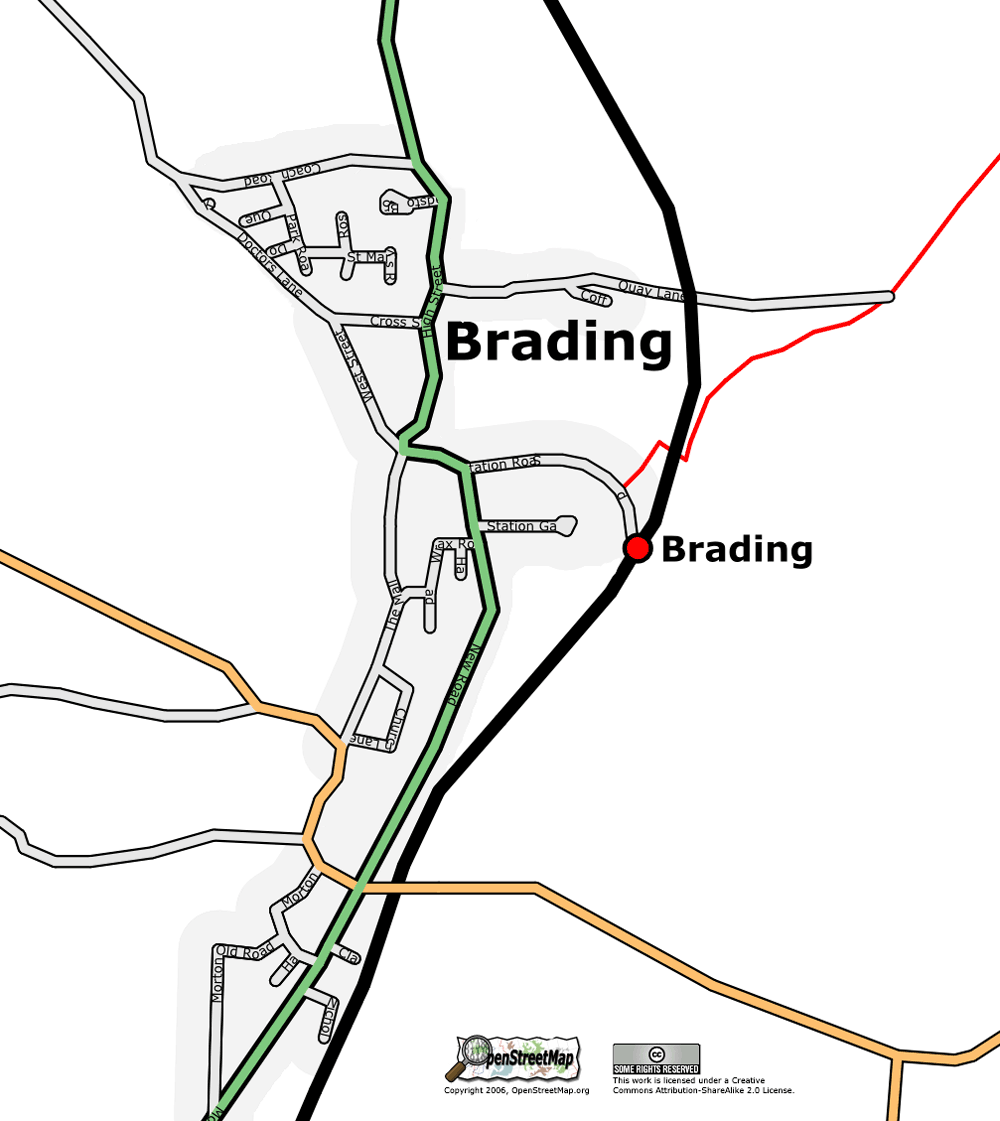
Brading, Isle of Wight, as at 1 July 2006
![]()
Contains map data © OpenStreetMap contributors, made available under the terms of the Creative Commons Attribution-ShareAlike 2.0 (CC-BY-SA-2.0).
File history
Click on a date/time to view the file as it appeared at that time.
| Date/Time | Thumbnail | Dimensions | User | Comment | |
|---|---|---|---|---|---|
| current | 13:50, 3 July 2006 | | 1,000 × 1,121 (85 KB) | Dmgroom (talk | contribs) | Brading, Isel of Wight, as at 1 July 2006 |
You cannot overwrite this file.
File usage
The following 2 pages use this file: