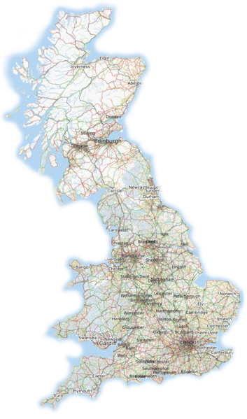
File:Britain osmarender August 2010.png
Jump to navigation
Jump to search

Size of this preview: 353 × 599 pixels. Other resolutions: 141 × 240 pixels | 283 × 480 pixels | 839 × 1,424 pixels.
Original file (839 × 1,424 pixels, file size: 1.31 MB, MIME type: image/png)
![]()
Contains map data © OpenStreetMap contributors, made available under the terms of the Creative Commons Attribution-ShareAlike 2.0 (CC-BY-SA-2.0).
File history
Click on a date/time to view the file as it appeared at that time.
| Date/Time | Thumbnail | Dimensions | User | Comment | |
|---|---|---|---|---|---|
| current | 17:55, 14 August 2010 | | 839 × 1,424 (1.31 MB) | Ojw (talk | contribs) | feather edges, remove some islands not part of GB |
| 12:59, 14 August 2010 | 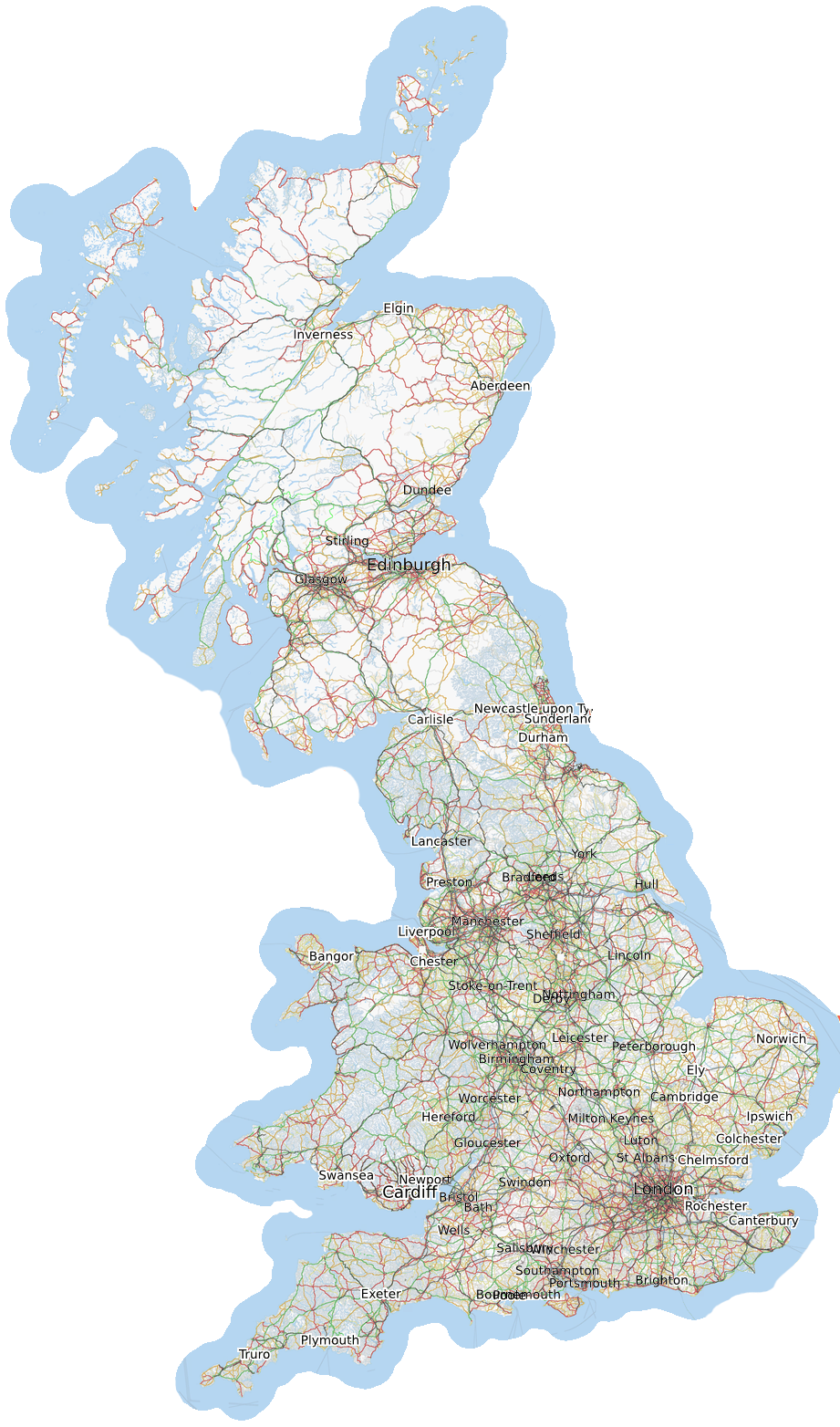 | 921 × 1,564 (1.73 MB) | Ojw (talk | contribs) | fix missing sea-tile | |
| 12:54, 14 August 2010 | 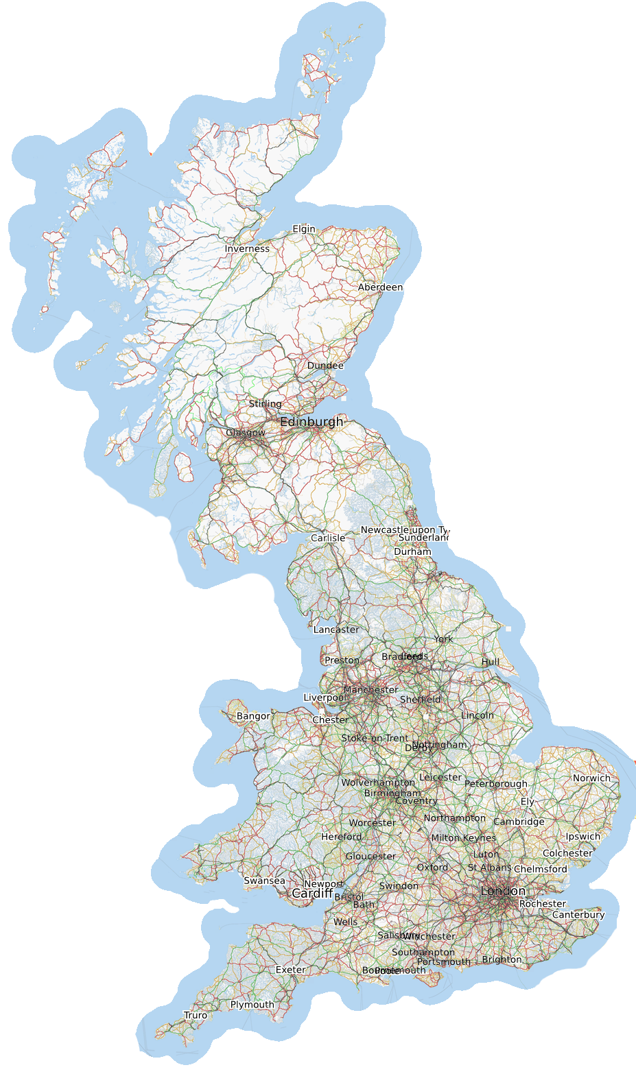 | 927 × 1,566 (1.74 MB) | Ojw (talk | contribs) |
You cannot overwrite this file.
File usage
There are no pages that use this file.