File:BrockCentre.png
Jump to navigation
Jump to search

Size of this preview: 497 × 599 pixels. Other resolutions: 199 × 240 pixels | 398 × 480 pixels | 637 × 768 pixels | 1,237 × 1,491 pixels.
Original file (1,237 × 1,491 pixels, file size: 84 KB, MIME type: image/png)
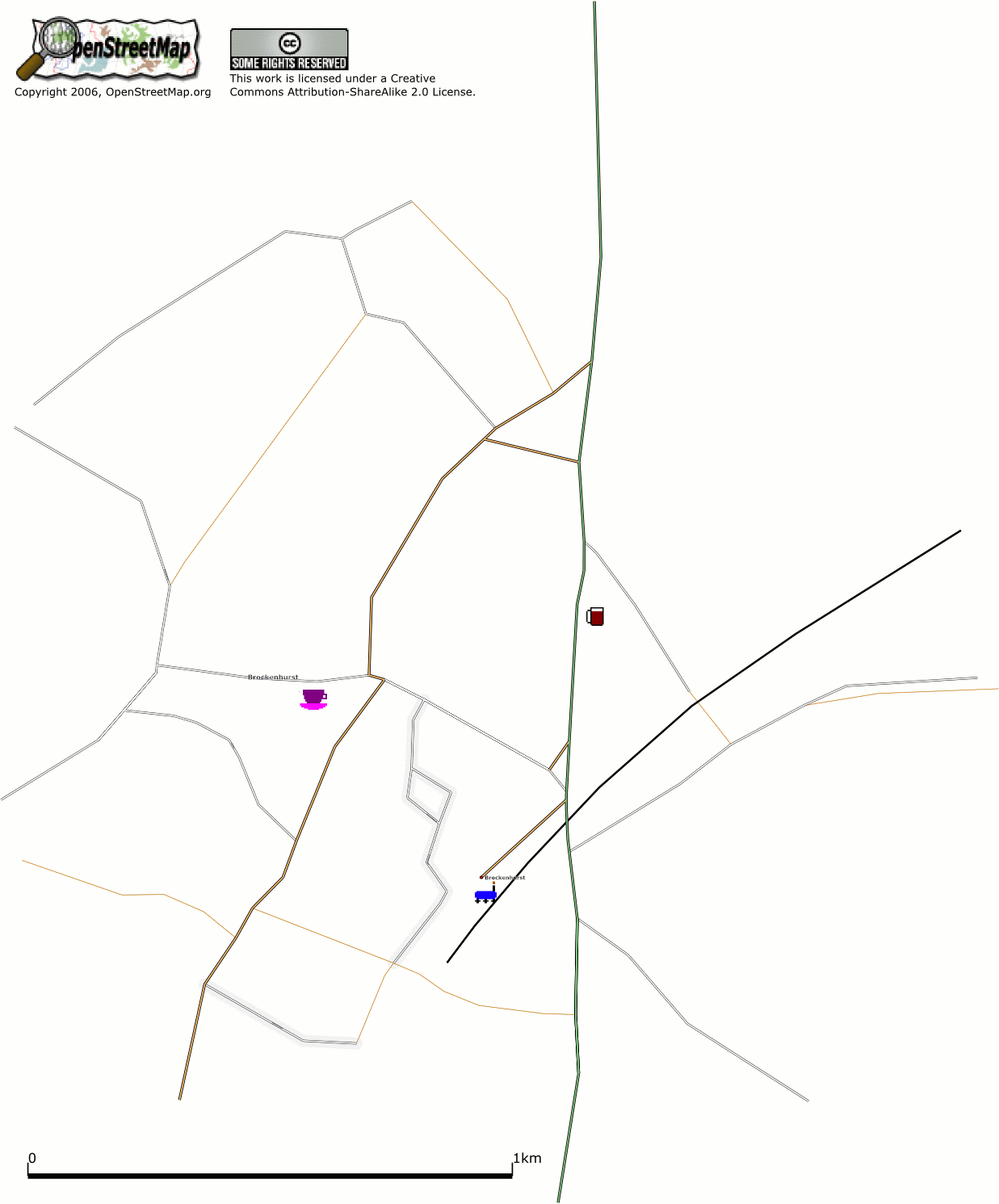
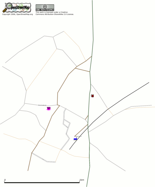
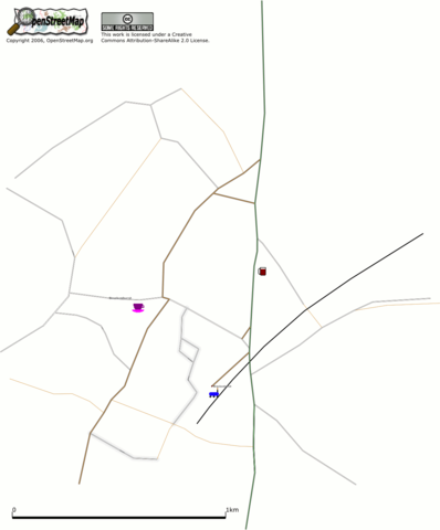
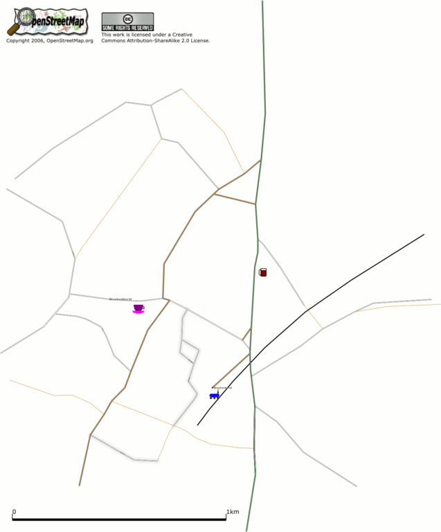
Centre of Brockenhurst with the location of the train station, Rose and Crown pub and Brock and Bruin tea rooms marked.
![]()
Contains map data © OpenStreetMap contributors, made available under the terms of the Creative Commons Attribution-ShareAlike 2.0 (CC-BY-SA-2.0).
File history
Click on a date/time to view the file as it appeared at that time.
| Date/Time | Thumbnail | Dimensions | User | Comment | |
|---|---|---|---|---|---|
| current | 21:42, 19 September 2006 | | 1,237 × 1,491 (84 KB) | Jburgess (talk | contribs) | Centre of Brockenhurst with the location of the train station, Rose and Crown pub and Brock and Bruin tea rooms marked. |
You cannot overwrite this file.
File usage
The following page uses this file: