File:Brownfields, 400-600 East Biddle Street, Baltimore, MD, USA.png
Jump to navigation
Jump to search

No higher resolution available.
Brownfields,_400-600_East_Biddle_Street,_Baltimore,_MD,_USA.png (611 × 332 pixels, file size: 101 KB, MIME type: image/png)
Licensing
![]()
![]()
This screenshot contains OpenStreetMap Carto rendering.
The OpenStreetMap Carto map style is made available under the Creative Commons CC-0 1.0 Universal Public Domain Dedication.
- Attribution to the map data:
| Contains map data © OpenStreetMap contributors, made available under the terms of the Open Database License (ODbL).
The ODbL does not require any particular license for maps produced from ODbL data, produced maps may be subject also to other licences. |
File history
Click on a date/time to view the file as it appeared at that time.
| Date/Time | Thumbnail | Dimensions | User | Comment | |
|---|---|---|---|---|---|
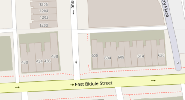
| current | 16:38, 15 May 2022 | | 611 × 332 (101 KB) | Bgo eiu (talk | contribs) | {{Information | description=Examples of {{Tag|landuse|brownfield}} with buildings in disrepair on them. | source=Screenshot with OSM Carto theme on OSM.org main page map | date=2022-05-15 | author=Self User:Bgo eiu | permission=Open Database License per OSM Wiki & OSM.org standard policy | other_versions= }} |
You cannot overwrite this file.
File usage
The following 5 pages use this file: