File:Brussels-20090220.png
Jump to navigation
Jump to search

No higher resolution available.
Brussels-20090220.png (507 × 479 pixels, file size: 436 KB, MIME type: image/png)
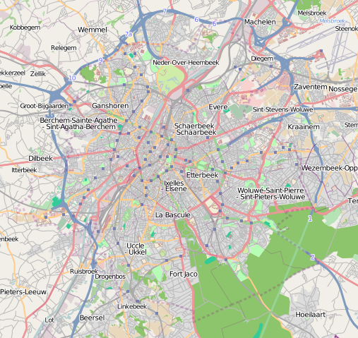
Status of the Brussels Capital Region on 2009-02-20.
Map tiles "OpenStreetMap Contributors. Licence: Creative Commons BY-SA 2.0"
![]()
Contains map data © OpenStreetMap contributors, made available under the terms of the Creative Commons Attribution-ShareAlike 2.0 (CC-BY-SA-2.0).
File history
Click on a date/time to view the file as it appeared at that time.
| Date/Time | Thumbnail | Dimensions | User | Comment | |
|---|---|---|---|---|---|
| current | 21:38, 20 February 2009 | | 507 × 479 (436 KB) | EMerzh (talk | contribs) | Status of Brussels on 20/02/2009 |
You cannot overwrite this file.
File usage
The following page uses this file: