File:Buildings and parcels.png
Original file (1,063 × 644 pixels, file size: 168 KB, MIME type: image/png)
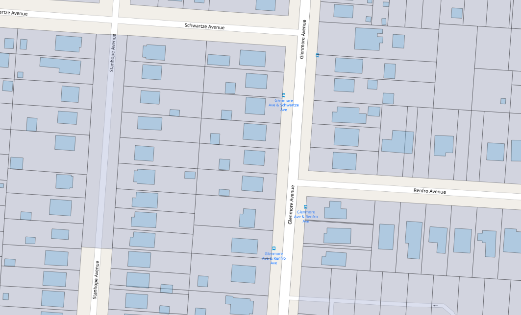
Sample map showing building and parcel alignment for proposed building import in Hamilton County Ohio.
This is a screenshot from QGIS showing the standard OSMcarto map overlaid with buildings and parcel data prior to the import of the building layer. Any part of this which is my work should be considered public domain.
Licensing
![]()
![]()
The OpenStreetMap Carto map style is made available under the Creative Commons CC-0 1.0 Universal Public Domain Dedication.
- Attribution to the map data:
| Contains map data © OpenStreetMap contributors, made available under the terms of the Open Database License (ODbL).
The ODbL does not require any particular license for maps produced from ODbL data, produced maps may be subject also to other licences. |
File history
Click on a date/time to view the file as it appeared at that time.
| Date/Time | Thumbnail | Dimensions | User | Comment | |
|---|---|---|---|---|---|
| current | 17:55, 21 October 2018 | | 1,063 × 644 (168 KB) | Nate Wessel (talk | contribs) |
You cannot overwrite this file.
File usage
There are no pages that use this file.