File:Cabbage-creek-Wells-England-Openstreetmap-carto.png
Jump to navigation
Jump to search

No higher resolution available.
Cabbage-creek-Wells-England-Openstreetmap-carto.png (564 × 348 pixels, file size: 145 KB, MIME type: image/png)
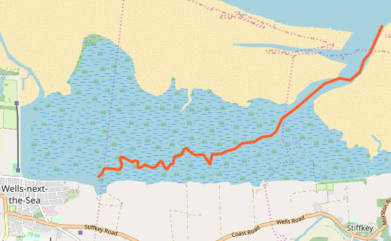
Cabbage Creek, a tidal channel in a salt marsh and beach environment near Wells, England, shown rendered in the Openstreetmap-Carto style on openstreetmap.org
Licensing
| Contains map data © OpenStreetMap contributors, made available under the terms of the Open Database License (ODbL).
The ODbL does not require any particular license for maps produced from ODbL data, produced maps may be subject also to other licences. |
File history
Click on a date/time to view the file as it appeared at that time.
| Date/Time | Thumbnail | Dimensions | User | Comment | |
|---|---|---|---|---|---|
| current | 05:13, 6 June 2019 | | 564 × 348 (145 KB) | Jeisenbe (talk | contribs) |
You cannot overwrite this file.
File usage
The following 5 pages use this file: