File:Cantabria - 20080613.png
Jump to navigation
Jump to search

Size of this preview: 664 × 600 pixels. Other resolutions: 266 × 240 pixels | 531 × 480 pixels | 923 × 834 pixels.
Original file (923 × 834 pixels, file size: 306 KB, MIME type: image/png)
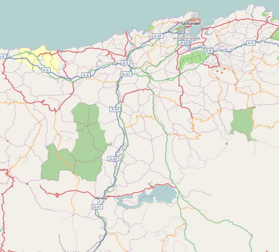
Map of the region of Cantabria, in the north of Spain. Date: 2008/06/13
![]()
Contains map data © OpenStreetMap contributors, made available under the terms of the Creative Commons Attribution-ShareAlike 2.0 (CC-BY-SA-2.0).
File history
Click on a date/time to view the file as it appeared at that time.
| Date/Time | Thumbnail | Dimensions | User | Comment | |
|---|---|---|---|---|---|
| current | 16:48, 13 June 2008 | | 923 × 834 (306 KB) | Tony Rotondas (talk | contribs) | Map of the region of Cantabria, in the north of Spain. Date: 2008/06/13 |
You cannot overwrite this file.
File usage
There are no pages that use this file.