File:Cape Town.png
Jump to navigation
Jump to search

Size of this preview: 688 × 599 pixels. Other resolutions: 276 × 240 pixels | 551 × 480 pixels | 715 × 623 pixels.
Original file (715 × 623 pixels, file size: 417 KB, MIME type: image/png)
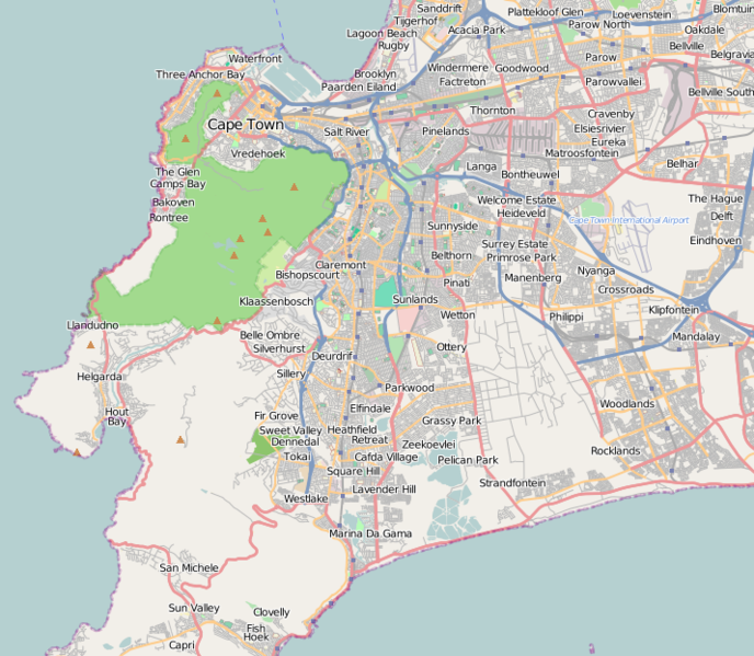
Map of Cape Town
This map and others like it, were created by OpenStreetmap contributors, and are licensed as Creative Commons CC-BY-SA 2.0 (https://creativecommons.org/licenses/by-sa/2.0/) (see OpenStreetMap licence).
Use {{mapof|PlaceName}} to add this template to your images.
This map and others like it, were created by OpenStreetmap contributors, and are licensed as Creative Commons CC-BY-SA 2.0 (https://creativecommons.org/licenses/by-sa/2.0/) (see OpenStreetMap licence).
Use {{mapof|PlaceName}} to add this template to your images.
File history
Click on a date/time to view the file as it appeared at that time.
| Date/Time | Thumbnail | Dimensions | User | Comment | |
|---|---|---|---|---|---|
| current | 09:12, 17 June 2009 | | 715 × 623 (417 KB) | Htonl (talk | contribs) | widen |
| 08:51, 17 June 2009 | 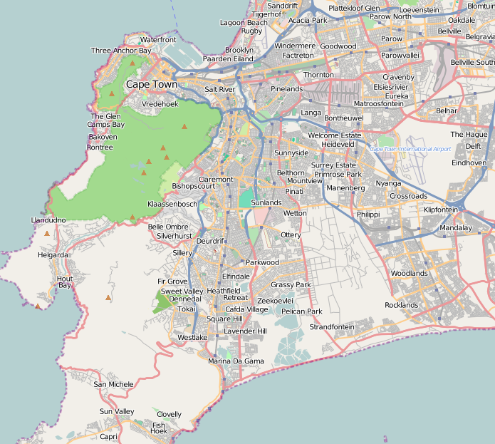 | 695 × 623 (417 KB) | Htonl (talk | contribs) | update map showing all the work that's happened | |
| 18:55, 3 November 2008 | 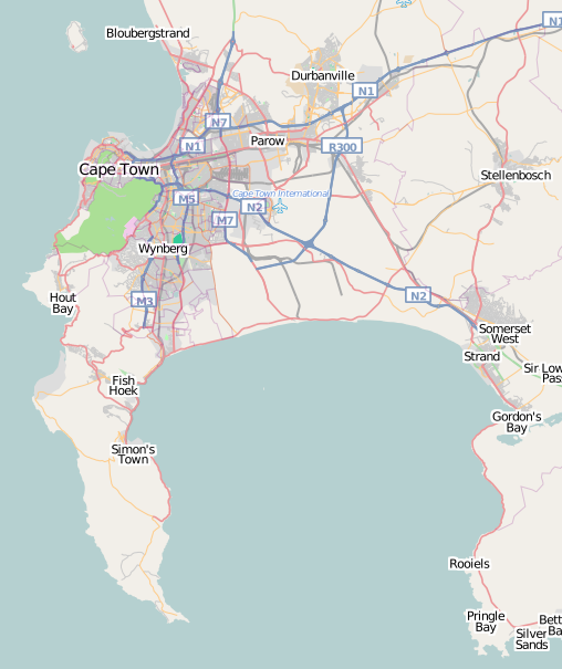 | 508 × 605 (146 KB) | Htonl (talk | contribs) | much newer version, in new style | |
| 11:36, 28 March 2008 |  | 500 × 560 (118 KB) | Htonl (talk | contribs) | new version showing whole of metropolitan Cape Town | |
| 16:18, 18 December 2007 | 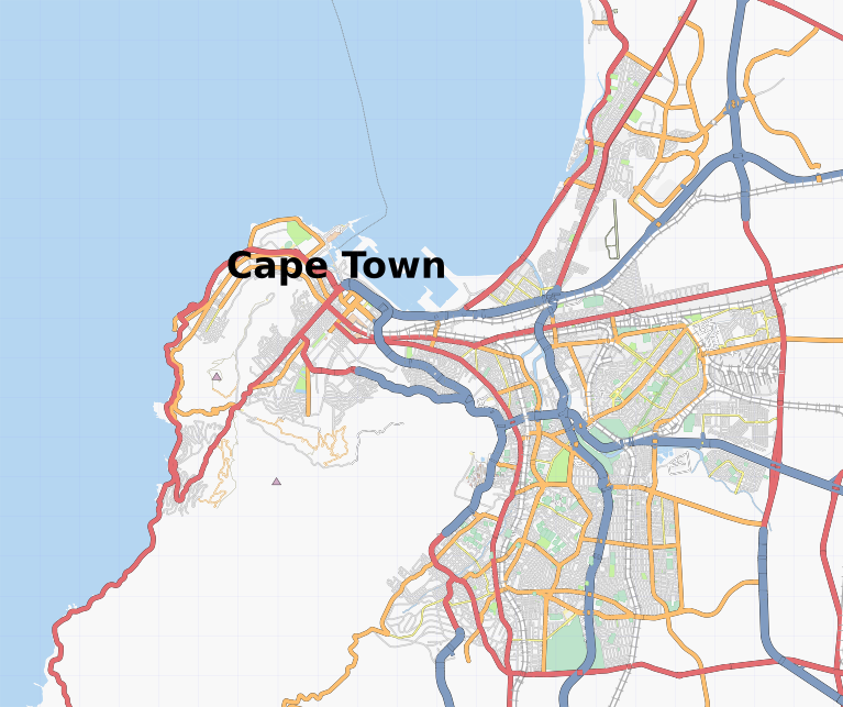 | 767 × 643 (347 KB) | Htonl (talk | contribs) | {{mapof|Cape Town}} |
You cannot overwrite this file.
File usage
The following page uses this file: