File:Cape Town September 2009 mapping party - sketch map 2.jpeg
Jump to navigation
Jump to search

Size of this preview: 800 × 566 pixels. Other resolutions: 320 × 226 pixels | 640 × 453 pixels | 1,024 × 724 pixels | 1,280 × 905 pixels | 2,560 × 1,810 pixels | 3,507 × 2,480 pixels.
Original file (3,507 × 2,480 pixels, file size: 821 KB, MIME type: image/jpeg)
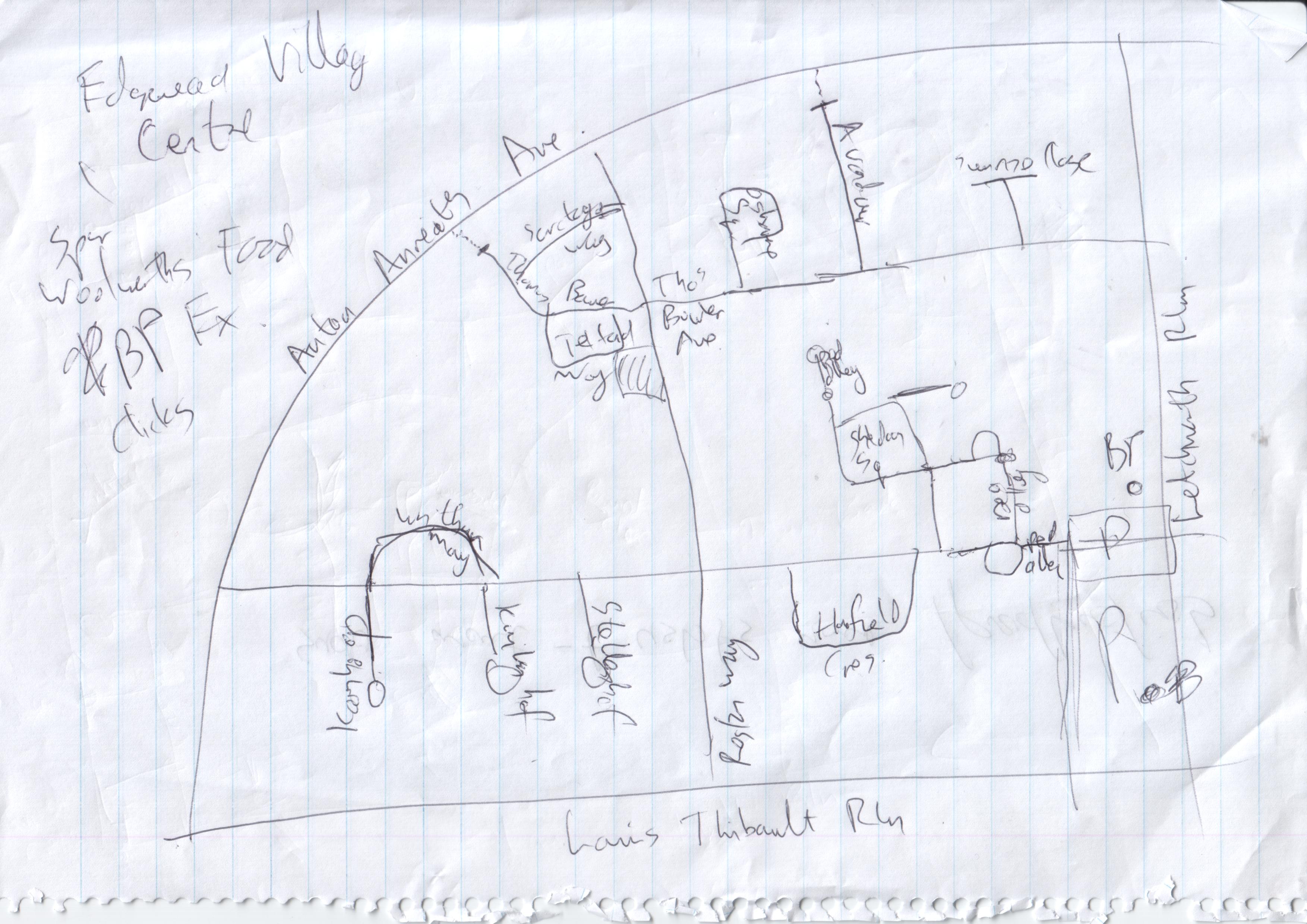
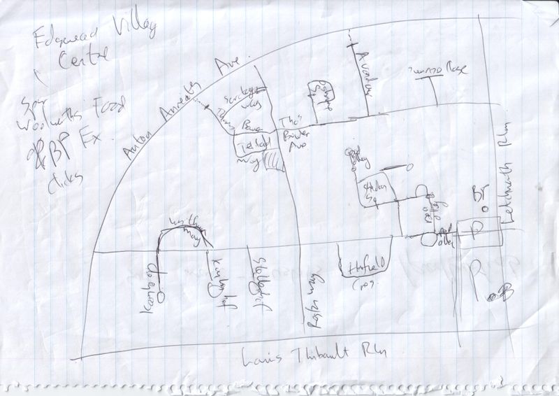
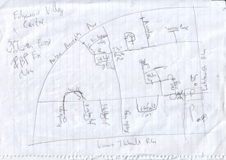
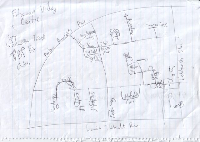
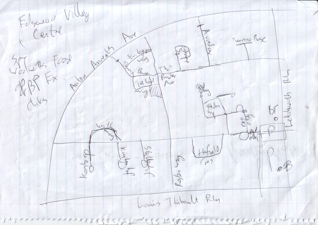
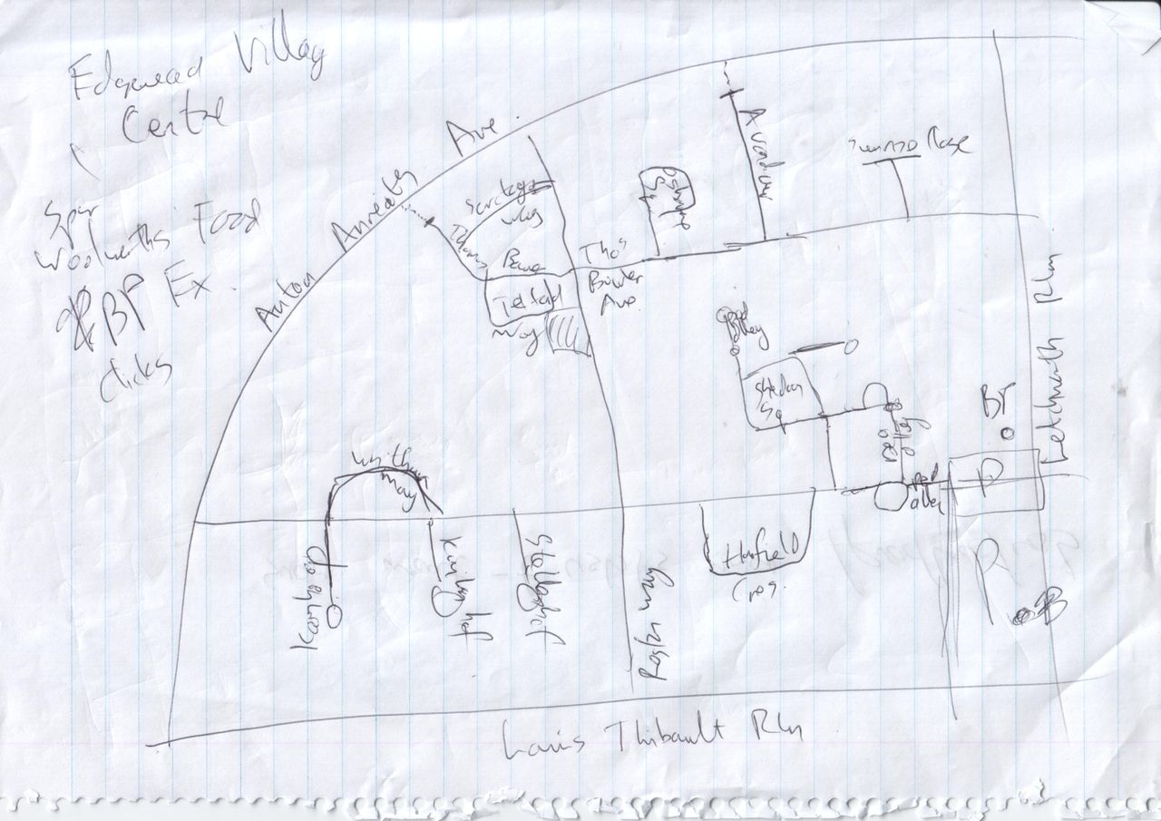
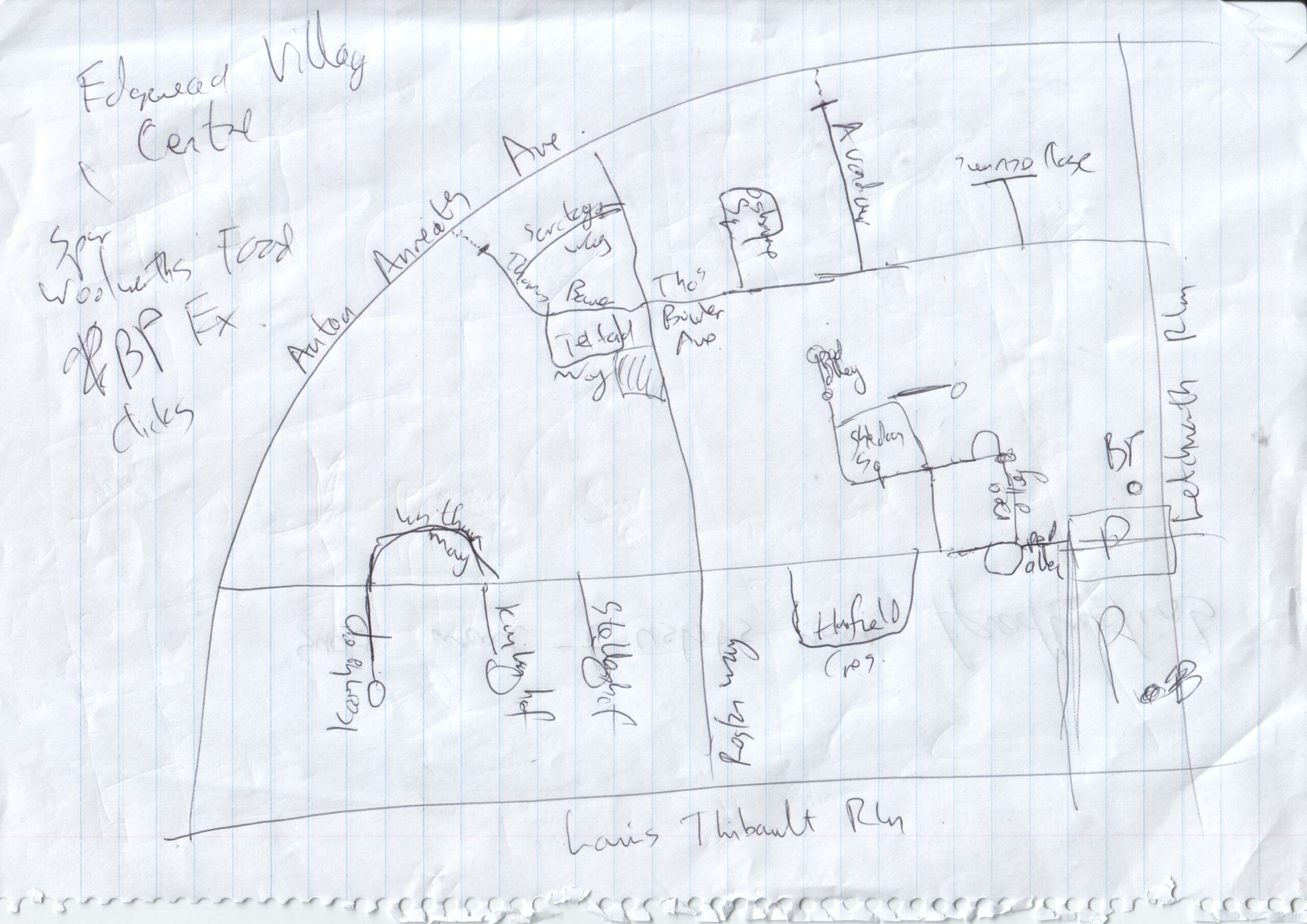
Sketch map of part of Edgemead (here), from the September 2009 mapping party, drawn by User:Htonl.
- This media file was uploaded by author of the work and its copyright holder.
![]()
![]()
This file is made available under the Creative Commons CC0 1.0 Universal Public Domain Dedication.
The person who associated a work with this deed has dedicated the work to the public domain by waiving all of his or her rights to the work worldwide under copyright law, including all related and neighboring rights, to the extent allowed by law. You can copy, modify, distribute and perform the work, even for commercial purposes, all without asking permission.
File history
Click on a date/time to view the file as it appeared at that time.
| Date/Time | Thumbnail | Dimensions | User | Comment | |
|---|---|---|---|---|---|
| current | 21:13, 20 September 2009 | | 3,507 × 2,480 (821 KB) | Htonl (talk | contribs) | sketch map from the mapping party |
You cannot overwrite this file.
File usage
The following page uses this file: