File:Carte des mes quartiers kip.PNG
Jump to navigation
Jump to search


Size of this preview: 506 × 599 pixels. Other resolutions: 203 × 240 pixels | 405 × 480 pixels | 692 × 819 pixels.
Original file (692 × 819 pixels, file size: 389 KB, MIME type: image/png)
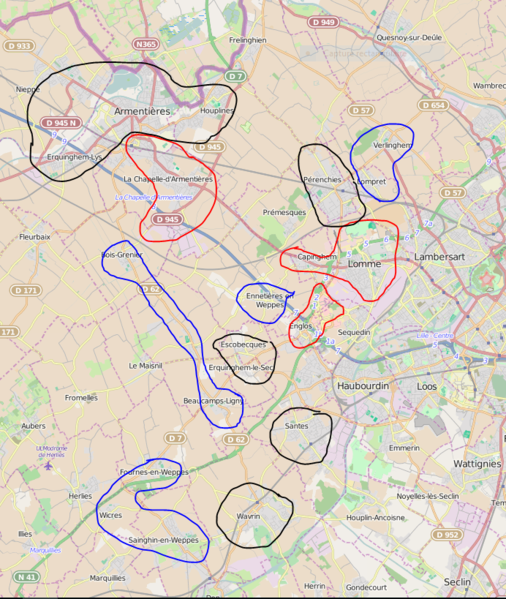
Les endroits dans lesquels je suis actif :
Rouge : très actif, j'y vais très souvent. Bleu : actif, j'y vais régulièrement. Noir : j'y vais de temps à autre, au moins une fois par mois.
| Contains map data © OpenStreetMap contributors, made available under the terms of the Open Database License (ODbL).
The ODbL does not require any particular license for maps produced from ODbL data, produced maps may be subject also to other licences. |
File history
Click on a date/time to view the file as it appeared at that time.
| Date/Time | Thumbnail | Dimensions | User | Comment | |
|---|---|---|---|---|---|
| current | 12:01, 4 October 2015 | | 692 × 819 (389 KB) | KipatchiBestOf59160 (talk | contribs) | Les endroits dans lesquels je suis actif : Rouge : très actif, j'y vais très souvent. Bleu : actif, j'y vais régulièrement. Noir : j'y vais de temps à autre, au moins une fois par mois. |
You cannot overwrite this file.
File usage
The following page uses this file: