File:Cebu Residential Buildings with Housenumbers.PNG
Jump to navigation
Jump to search

Size of this preview: 800 × 600 pixels. Other resolutions: 320 × 240 pixels | 640 × 480 pixels | 1,024 × 768 pixels.
Original file (1,024 × 768 pixels, file size: 192 KB, MIME type: image/png)
Summary
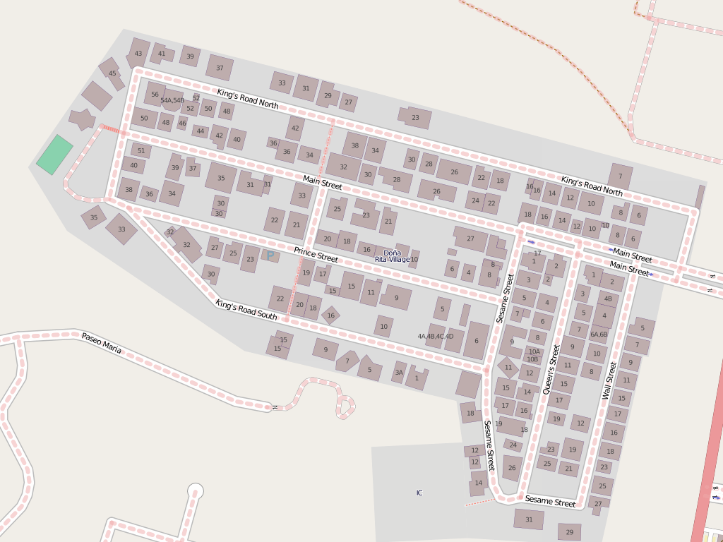
| Description | A visualization of buildings with housenumbers in a residential area in Cebu City, Philippines |
|---|---|
| Author | Ianlopez1115 |
| Source | http://osm.org/go/4tRH4mFXe-- |
| Date | 24 June 2011 |
| Permission | See below |
| Other versions | none |
Licensing
![]()
![]()
![]()
This screenshot contains OpenStreetMap Carto rendering.
The OpenStreetMap Carto map style is made available under the Creative Commons CC-0 1.0 Universal Public Domain Dedication.
- Attribution to the map data:
![]()
Contains map data © OpenStreetMap contributors, made available under the terms of the Creative Commons Attribution-ShareAlike 2.0 (CC-BY-SA-2.0).
File history
Click on a date/time to view the file as it appeared at that time.
| Date/Time | Thumbnail | Dimensions | User | Comment | |
|---|---|---|---|---|---|
| current | 00:49, 24 June 2011 | | 1,024 × 768 (192 KB) | Ianlopez1115 (talk | contribs) | {{Information |Description = A visualization of buildings with housenumbers in a residential area in Cebu City, Philippines |Source = http://osm.org/go/4tRH4mFXe-- |Date = 24 June 2011 |Author = Ianlopez1115 |Permission = See below } |
You cannot overwrite this file.
File usage
The following page uses this file: