File:Christ Church Flats, Kew Road - geograph.org.uk - 219419.jpg
Jump to navigation
Jump to search


No higher resolution available.
Christ_Church_Flats,_Kew_Road_-_geograph.org.uk_-_219419.jpg (640 × 480 pixels, file size: 120 KB, MIME type: image/jpeg)
This file and its description are from Wikimedia Commons.
Summary
| Description |
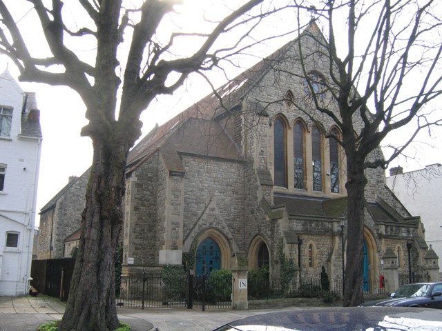
English: Christ Church Flats, 122b Kew Road, London TW9, seen from the northwest. Built as a Church of England parish church, made redundant in 1986 and converted to apartments. |
| Date | |
| Source | From geograph.org.uk |
| Author | Stephen Craven |
| Attribution (required by the license) | Stephen Craven / Christ Church Flats, Kew Road / |
| Camera location | | View this and other nearby images on: OpenStreetMap |
|---|
_heading:135.00&language=en)
| Object location | | View this and other nearby images on: OpenStreetMap |
|---|
_heading:135.00&language=en)
Licensing

|
This image was taken from the Geograph project collection. See this photograph's page on the Geograph website for the photographer's contact details. The copyright on this image is owned by Stephen Craven and is licensed for reuse under the Creative Commons Attribution-ShareAlike 2.0 license.
|
This file is licensed under the Creative Commons Attribution-Share Alike 2.0 Generic license.
Attribution: Stephen Craven
- You are free:
- to share – to copy, distribute and transmit the work
- to remix – to adapt the work
- Under the following conditions:
- attribution – You must give appropriate credit, provide a link to the license, and indicate if changes were made. You may do so in any reasonable manner, but not in any way that suggests the licensor endorses you or your use.
- share alike – If you remix, transform, or build upon the material, you must distribute your contributions under the same or compatible license as the original.
File history
Click on a date/time to view the file as it appeared at that time.
| Date/Time | Thumbnail | Dimensions | User | Comment | |
|---|---|---|---|---|---|
| current | 20:42, 31 January 2010 | | 640 × 480 (120 KB) | wikimediacommons>GeographBot | == {{int:filedesc}} == {{Information |description={{en|1=Christ Church Flats, Kew Road. Christ Church (Anglican) was closed in 1986 and converted to flats.}} |date=2006-03-15 |source=From [http://www.geograph.org.uk/photo/219419 geograph.org.uk] |author=[ |
File usage
The following 19 pages use this file:
- Buildings
- Church
- Cs:Tag:building=apartments
- Ko:Tag:building=apartments
- Ko:건물
- Pl:Kościół
- Pl:Tag:building=apartments
- Pt:Tag:building=apartments
- Sv:Buildings
- Tag:building=apartments
- Uk:Tag:building=apartments
- Uk:Будівлі
- Zh-hans:Tag:building=apartments
- FR:Tag:building=apartments
- ES:Tag:building=apartments
- IT:Buildings
- RU:Tag:building=apartments
- RU:Здания
- JA:Tag:building=apartments