File:Cobertura do CBERS.png
Jump to navigation
Jump to search

No higher resolution available.
Cobertura_do_CBERS.png (456 × 468 pixels, file size: 116 KB, MIME type: image/png)
Licensing
![]()
![]()
![]()
This screenshot contains OpenStreetMap Carto rendering.
The OpenStreetMap Carto map style is made available under the Creative Commons CC-0 1.0 Universal Public Domain Dedication.
- Attribution to the map data:
![]()
Contains map data © OpenStreetMap contributors, made available under the terms of the Creative Commons Attribution-ShareAlike 2.0 (CC-BY-SA-2.0).
File history
Click on a date/time to view the file as it appeared at that time.
| Date/Time | Thumbnail | Dimensions | User | Comment | |
|---|---|---|---|---|---|
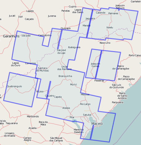
| current | 20:28, 5 July 2010 | | 456 × 468 (116 KB) | RodrigoAvila (talk | contribs) | Coleção atualizada. |
| 12:57, 28 June 2010 | 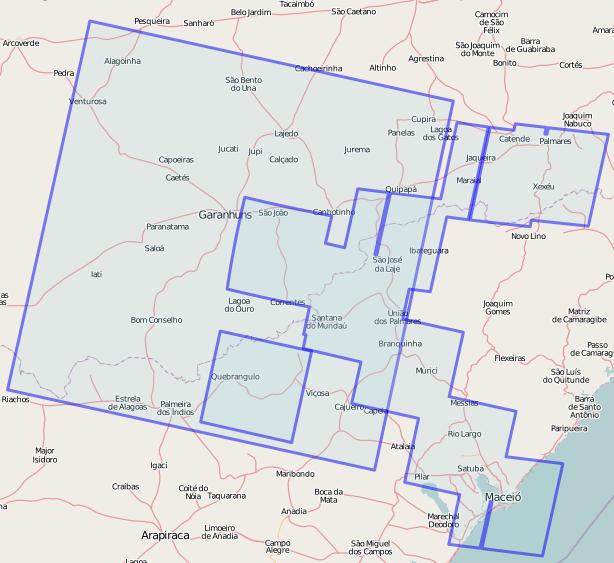 | 614 × 563 (168 KB) | RodrigoAvila (talk | contribs) | Updated boundary. | |
| 13:02, 24 June 2010 | 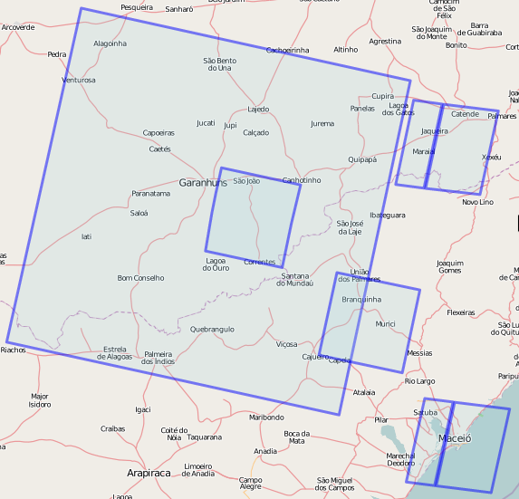 | 573 × 551 (149 KB) | RodrigoAvila (talk | contribs) | ||
| 19:00, 23 June 2010 | 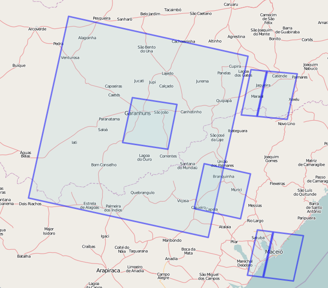 | 668 × 587 (174 KB) | RodrigoAvila (talk | contribs) |
You cannot overwrite this file.
File usage
The following 2 pages use this file: