File:Comber.png
Jump to navigation
Jump to search

Size of this preview: 297 × 599 pixels. Other resolutions: 119 × 240 pixels | 238 × 480 pixels | 944 × 1,904 pixels.
Original file (944 × 1,904 pixels, file size: 238 KB, MIME type: image/png)
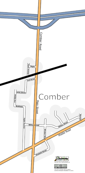
The village of Comber in Ontario, Canada This second version of the file is an effort to learn how to make villages-sized maps look better. I've put in the motorway at the north end of the image manually. There is no track data to support it yet, so it isn't in the database.
File history
Click on a date/time to view the file as it appeared at that time.
| Date/Time | Thumbnail | Dimensions | User | Comment | |
|---|---|---|---|---|---|
| current | 02:45, 17 October 2006 | | 944 × 1,904 (238 KB) | Rw (talk | contribs) | |
| 23:07, 16 October 2006 | 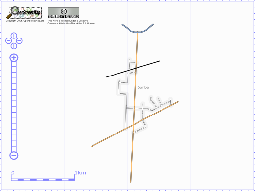 | 521 × 392 (34 KB) | Rw (talk | contribs) | The village of Comber in Ontario, Canada |
You cannot overwrite this file.
File usage
The following page uses this file: