File:Conservancy-trail-near-camp-and-garden.png
Jump to navigation
Jump to search


Size of this preview: 740 × 599 pixels. Other resolutions: 296 × 240 pixels | 593 × 480 pixels | 948 × 768 pixels | 1,247 × 1,010 pixels.
Original file (1,247 × 1,010 pixels, file size: 412 KB, MIME type: image/png)
Summary
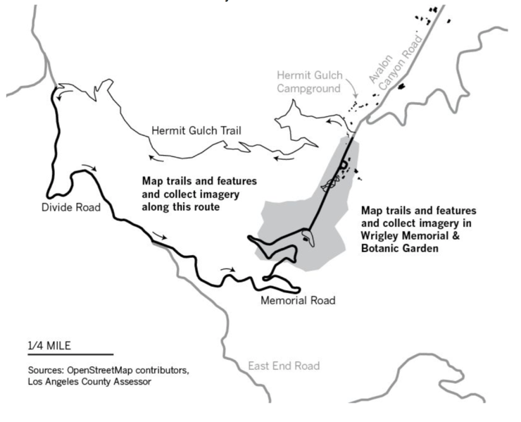
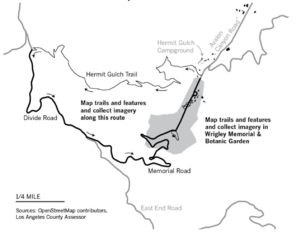
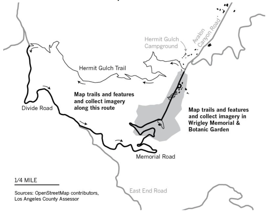
Map of area near Wrigley Memorial and Botanic Garden in Avalon, California.
Licensing
| Contains map data © OpenStreetMap contributors, made available under the terms of the Open Database License (ODbL).
The ODbL does not require any particular license for maps produced from ODbL data, produced maps may be subject also to other licences. |
File history
Click on a date/time to view the file as it appeared at that time.
| Date/Time | Thumbnail | Dimensions | User | Comment | |
|---|---|---|---|---|---|
| current | 19:14, 30 September 2016 | | 1,247 × 1,010 (412 KB) | Jschleuss (talk | contribs) | Map of area near Wrigley Memorial and Botanic Garden in Avalon, California. |
You cannot overwrite this file.
File usage
There are no pages that use this file.