File:Copenhagen-osmarender-17aug2006.gif
Jump to navigation
Jump to search

Size of this preview: 735 × 600 pixels. Other resolutions: 294 × 240 pixels | 588 × 480 pixels | 941 × 768 pixels | 1,255 × 1,024 pixels | 2,504 × 2,043 pixels.
Original file (2,504 × 2,043 pixels, file size: 326 KB, MIME type: image/gif)
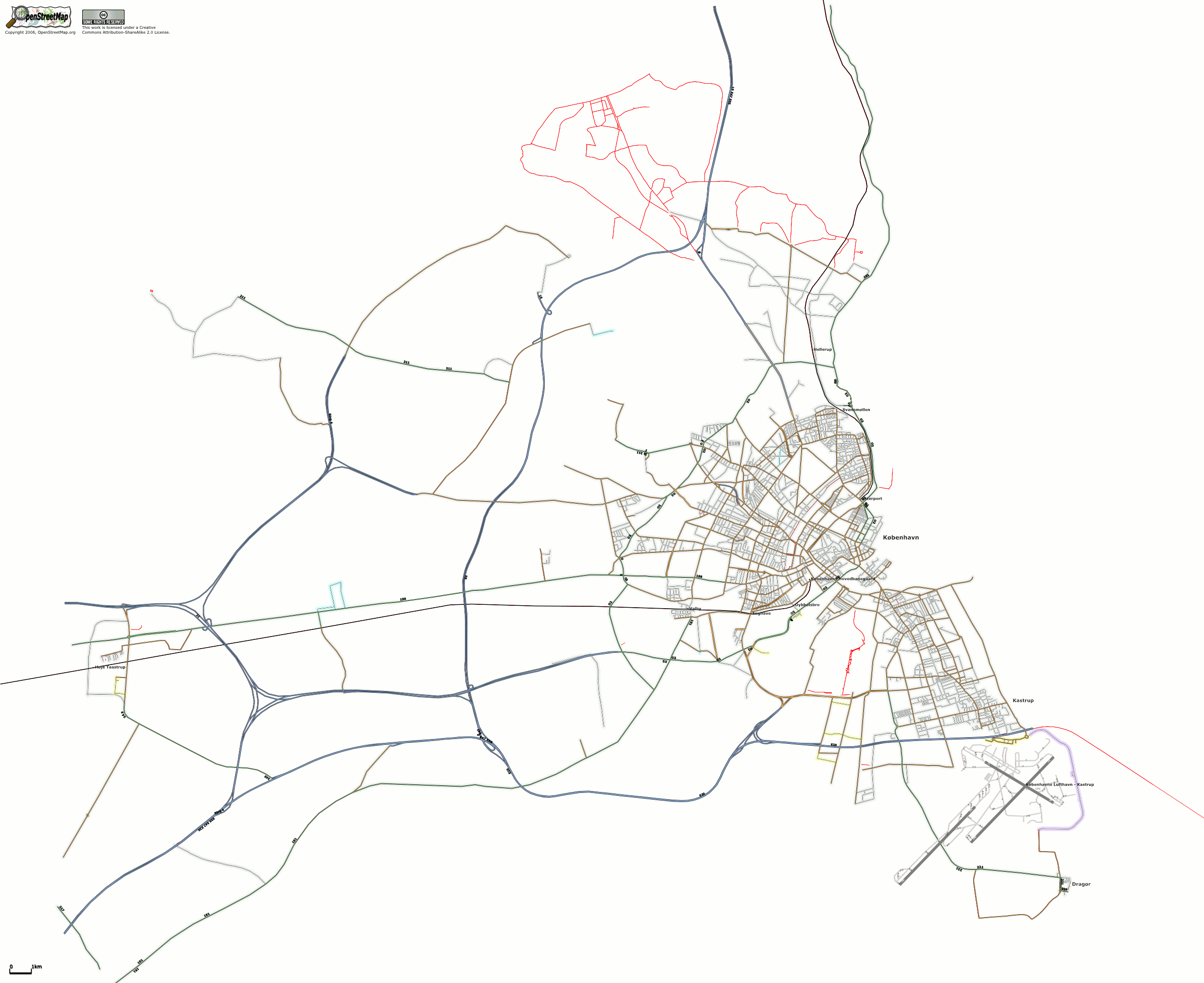
Greater Copenhagen coverage as of August 17, 2006. Untagged segments are shown with a red line, all other streets shown according to highway tags. Railway station, city, and town names displayed, streetnames suppressed.
![]()
Contains map data © OpenStreetMap contributors, made available under the terms of the Creative Commons Attribution-ShareAlike 2.0 (CC-BY-SA-2.0).
File history
Click on a date/time to view the file as it appeared at that time.
| Date/Time | Thumbnail | Dimensions | User | Comment | |
|---|---|---|---|---|---|
| current | 21:18, 20 August 2006 | | 2,504 × 2,043 (326 KB) | Dutch (talk | contribs) | Greater Copenhagen coverage as of August 17, 2006. Untagged segments are shown with a red line, all other streets shown according to highway tags. Railway station, city, town names, primary highway refs and motorway refs displayed, streetnames suppressed. |
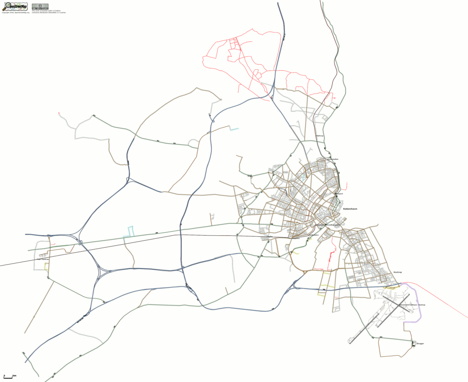
| 13:17, 17 August 2006 | 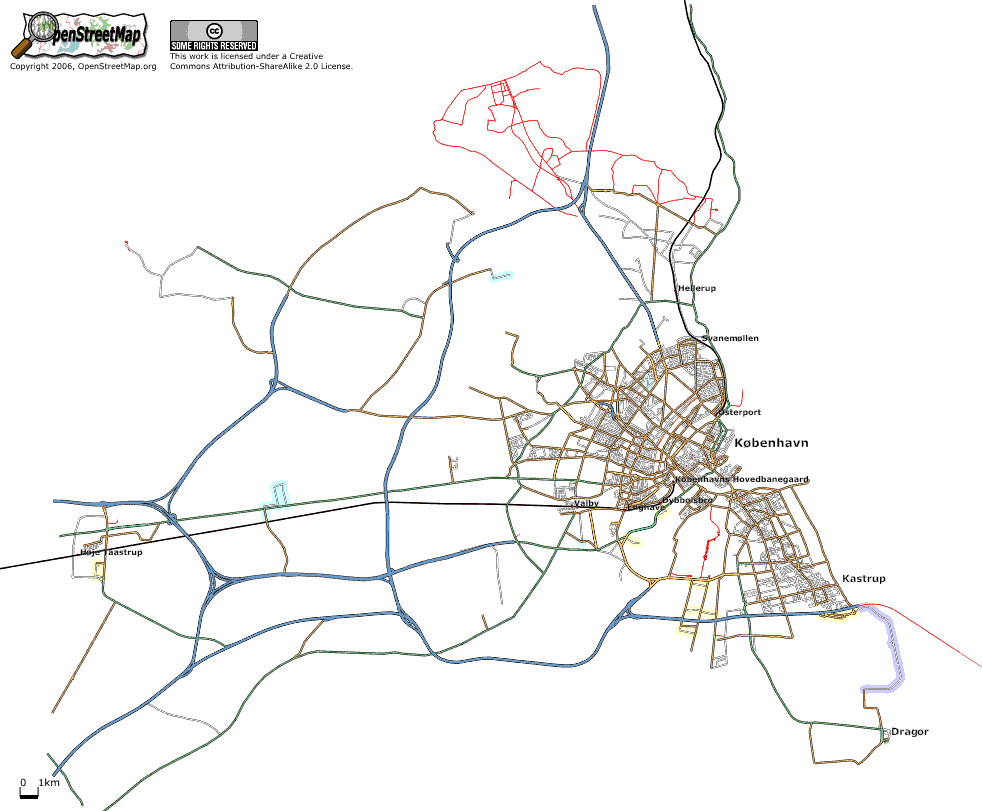 | 982 × 811 (48 KB) | Dutch (talk | contribs) | Greater Copenhagen coverage as of August 17, 2006. Untagged segments are shown with a red line, all other streets shown according to highway tags. Railway station, city, and town names displayed, streetnames suppressed. |
You cannot overwrite this file.
File usage
The following page uses this file: