File:Courgeac 16 Mangeoire 2014.jpg
Jump to navigation
Jump to search


Size of this preview: 800 × 526 pixels. Other resolutions: 320 × 210 pixels | 640 × 421 pixels | 1,024 × 673 pixels | 1,280 × 842 pixels | 2,560 × 1,683 pixels | 4,928 × 3,240 pixels.
Original file (4,928 × 3,240 pixels, file size: 16.15 MB, MIME type: image/jpeg)
This file and its description are from Wikimedia Commons.
Summary
| Description |
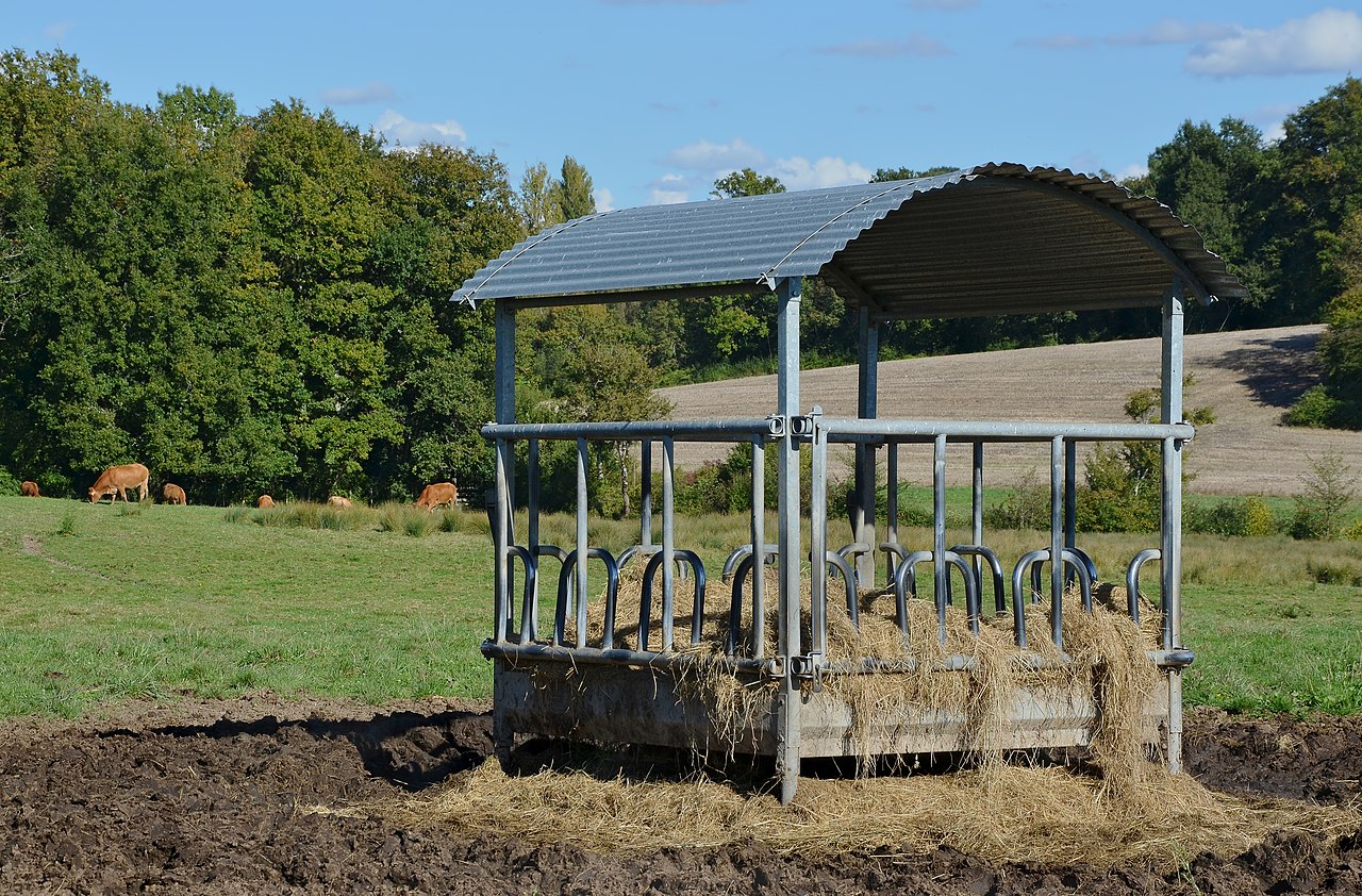
Français : Mangeoire pour bovins, dans un pré, Courgeac, Charente, France.
English: Manger for cattle in a meadow, Courgeac, Charente, France.
Deutsch: Futterkrippe für Rinder, auf einer Weide, Courgeac, Charente, Frankreich. |
| Date | |
| Source | Own work |
| Author | |
| Attribution (required by the license) | Photo: JLPC / Wikimedia Commons / |
| Permission (Reusing this file) |
I, the copyright holder of this work, hereby publish it under the following license: This file is licensed under the Creative Commons Attribution-Share Alike 3.0 Unported license.
|
| Camera location | | View this and other nearby images on: OpenStreetMap |
|---|
This image has been assessed using the Quality image guidelines and is considered a Quality image.
|
File history
Click on a date/time to view the file as it appeared at that time.
| Date/Time | Thumbnail | Dimensions | User | Comment | |
|---|---|---|---|---|---|
| current | 07:56, 19 October 2014 | | 4,928 × 3,240 (16.15 MB) | wikimediacommons>JLPC |
File usage
The following 19 pages use this file:
- Animals
- Cs:Tag:amenity=feeding place
- Key:feeding:type
- Pl:Tag:amenity=feeding place
- Pl:Zwierzęta
- Tag:amenity=feeding place
- Uk:Tag:amenity=feeding place
- Wiki:Files used by data items/1
- Template:JA:Map Features:animal
- Template:Map Features:animal
- Template:Pl:Map Features:animal
- Template:RU:Map Features:animal
- FR:Tag:amenity=feeding place
- ES:Tag:amenity=feeding place
- RU:Key:feeding:type
- RU:Tag:amenity=feeding place
- RU:Животные
- JA:Tag:amenity=feeding place
- JA:動物