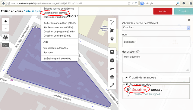
File:Créer un polygone avec uMap - Etape4.PNG
Jump to navigation
Jump to search


Size of this preview: 800 × 457 pixels. Other resolutions: 320 × 183 pixels | 640 × 366 pixels | 1,018 × 582 pixels.
Original file (1,018 × 582 pixels, file size: 117 KB, MIME type: image/png)
File history
Click on a date/time to view the file as it appeared at that time.
| Date/Time | Thumbnail | Dimensions | User | Comment | |
|---|---|---|---|---|---|
| current | 09:05, 21 January 2014 | | 1,018 × 582 (117 KB) | Jmathouc (talk | contribs) |
You cannot overwrite this file.
File usage
The following 3 pages use this file: