File:DC3overAlpeDHuez.png
Jump to navigation
Jump to search

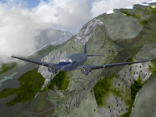
Size of this preview: 800 × 600 pixels. Other resolutions: 320 × 240 pixels | 640 × 480 pixels | 1,024 × 768 pixels.
Original file (1,024 × 768 pixels, file size: 1.04 MB, MIME type: image/png)
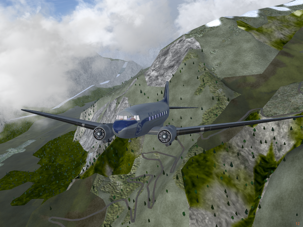
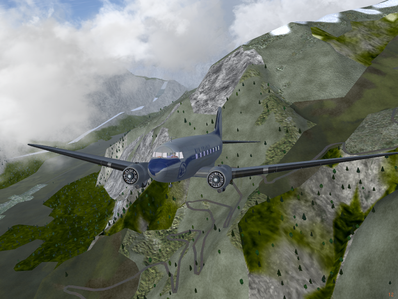
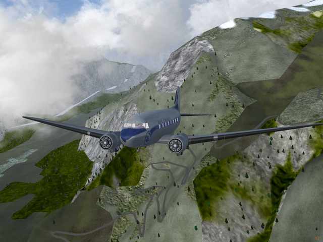
Use of OSM data in FlightGear scenery : highways (primaries and upper) and railways.
A DC 3 over L'Alpe d'Huez : http://osm.org/go/0CAh7ZwB--
Picture (fly) : heljah for OSM
Scenaries : ElMaxo
The explanation and the scenery are available here :
(fr) http://fr.flightgear.tuxfamily.org/forum/viewtopic.php?id=901
File history
Click on a date/time to view the file as it appeared at that time.
| Date/Time | Thumbnail | Dimensions | User | Comment | |
|---|---|---|---|---|---|
| current | 22:33, 30 March 2011 | | 1,024 × 768 (1.04 MB) | FrViPofm (talk | contribs) | Use of OSM data in FlightGear scenery : highways (primaries and upper) and railways. A DC 3 over L'Alpe d'Huez ({{tag|icao||LFMN}}) : http://osm.org/go/0CAh7ZwB-- Picture (fly) : [http://fr.flightgear.tuxfamily.org/forum/profile.php?id=128 heljah] f |
You cannot overwrite this file.
File usage
The following 2 pages use this file: