File:Departements.png
Jump to navigation
Jump to search
Size of this preview: 600 × 600 pixels. Other resolutions: 240 × 240 pixels | 480 × 480 pixels | 768 × 768 pixels | 1,024 × 1,024 pixels | 2,000 × 2,000 pixels.
Original file (2,000 × 2,000 pixels, file size: 618 KB, MIME type: image/png)
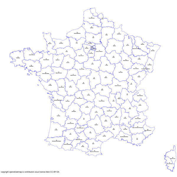
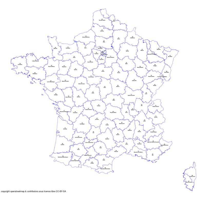
première version des départements français
à améliorer
- This media file was uploaded by author of the work and its copyright holder.
![]()
![]()
This file is made available under the Creative Commons CC0 1.0 Universal Public Domain Dedication.
The person who associated a work with this deed has dedicated the work to the public domain by waiving all of his or her rights to the work worldwide under copyright law, including all related and neighboring rights, to the extent allowed by law. You can copy, modify, distribute and perform the work, even for commercial purposes, all without asking permission.
File history
Click on a date/time to view the file as it appeared at that time.
| Date/Time | Thumbnail | Dimensions | User | Comment | |
|---|---|---|---|---|---|
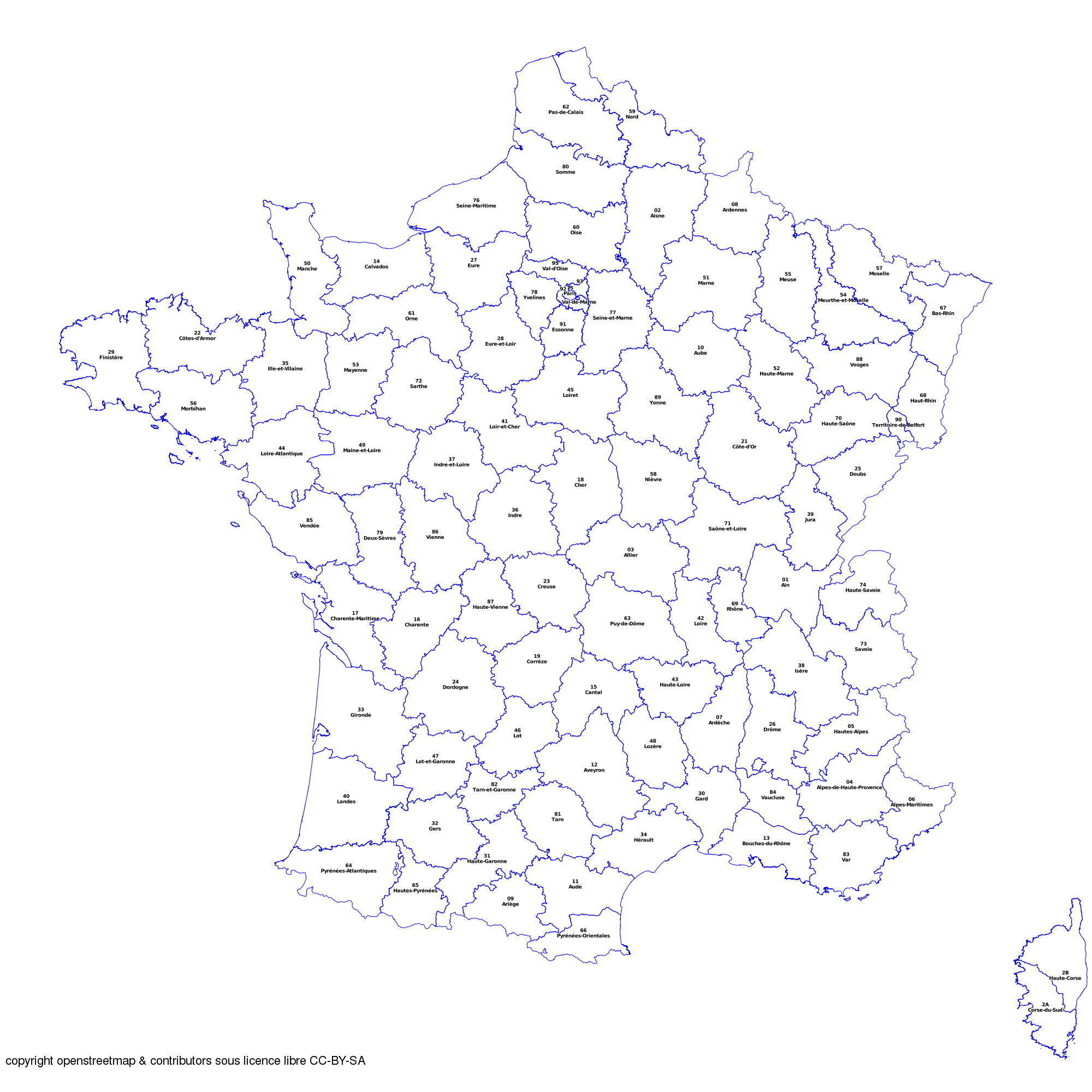
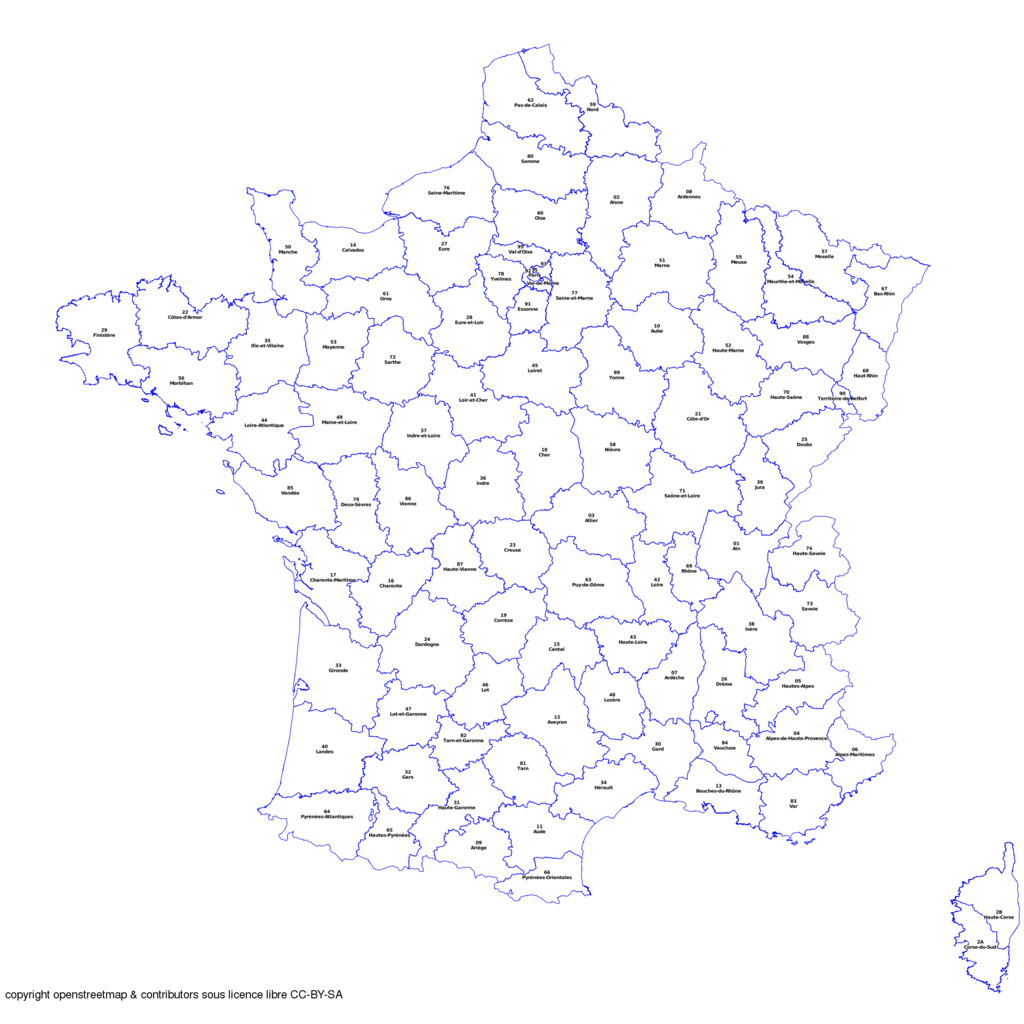
| current | 11:24, 20 February 2009 | | 2,000 × 2,000 (618 KB) | Sletuffe (talk | contribs) | Complet pour la france métropolitaine+corse Mais la lisibilité en région parisienne est mauvaise |
| 14:21, 18 February 2009 | 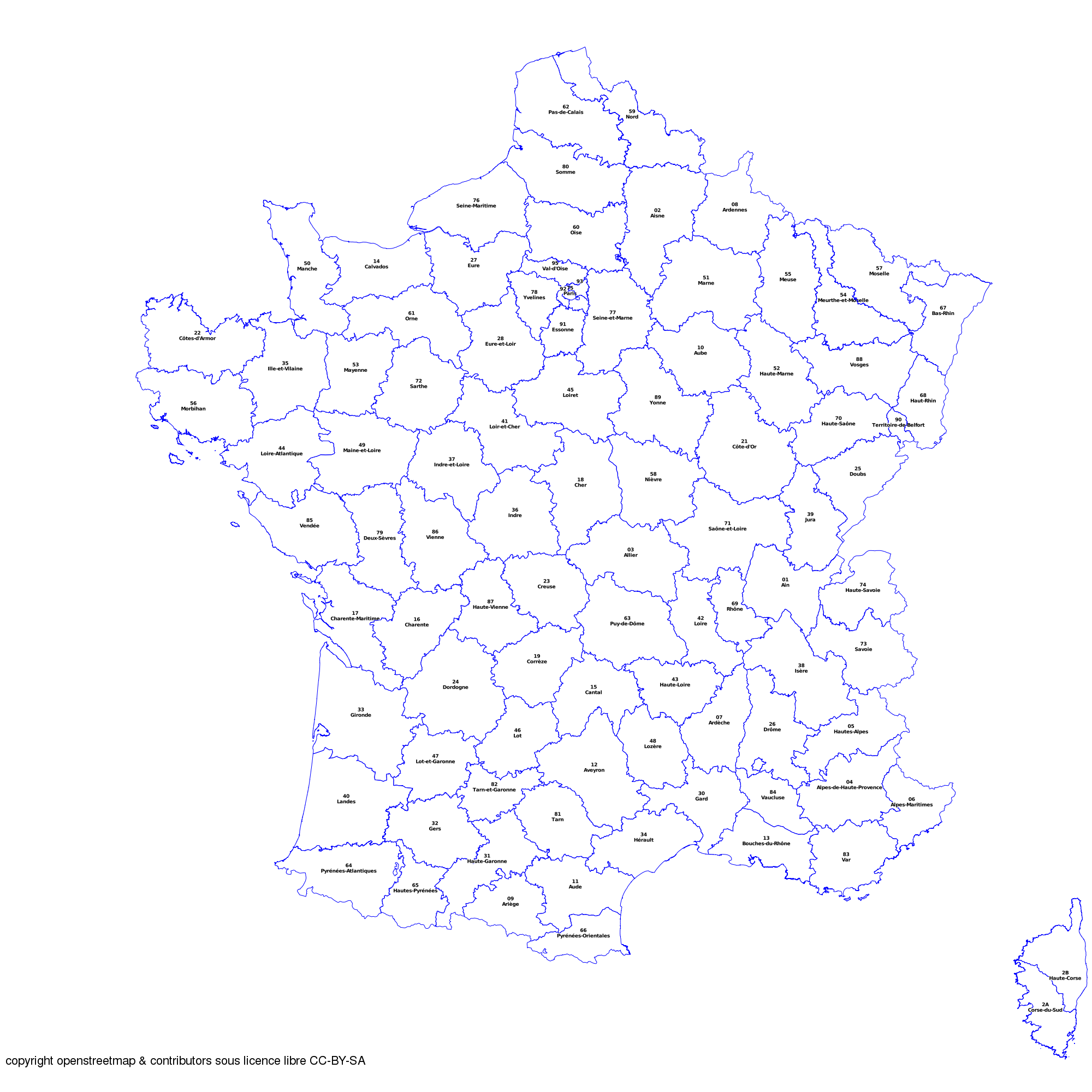 | 2,000 × 2,000 (609 KB) | Sletuffe (talk | contribs) | ||
| 14:37, 13 February 2009 |  | 1,500 × 1,500 (436 KB) | Sletuffe (talk | contribs) | première version des départements français à améliorer |
You cannot overwrite this file.
File usage
There are no pages that use this file.