File:Douglas-areas.png
Jump to navigation
Jump to search

No higher resolution available.
Douglas-areas.png (800 × 502 pixels, file size: 236 KB, MIME type: image/png)
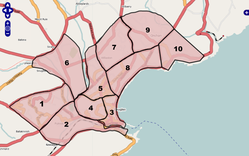
Suggested areas around Douglas and Onchan for Isle of Man Mapping Party
File history
Click on a date/time to view the file as it appeared at that time.
| Date/Time | Thumbnail | Dimensions | User | Comment | |
|---|---|---|---|---|---|
| current | 21:36, 30 July 2007 | | 800 × 502 (236 KB) | Dankarran (talk | contribs) | Suggested areas around Douglas and Onchan for Isle of Man Mapping Party |
You cannot overwrite this file.
File usage
The following page uses this file: