File:Drainage Mapping .png
Jump to navigation
Jump to search

Size of this preview: 800 × 566 pixels. Other resolutions: 320 × 226 pixels | 640 × 453 pixels | 1,024 × 724 pixels | 1,280 × 905 pixels | 1,999 × 1,414 pixels.
Original file (1,999 × 1,414 pixels, file size: 488 KB, MIME type: image/png)
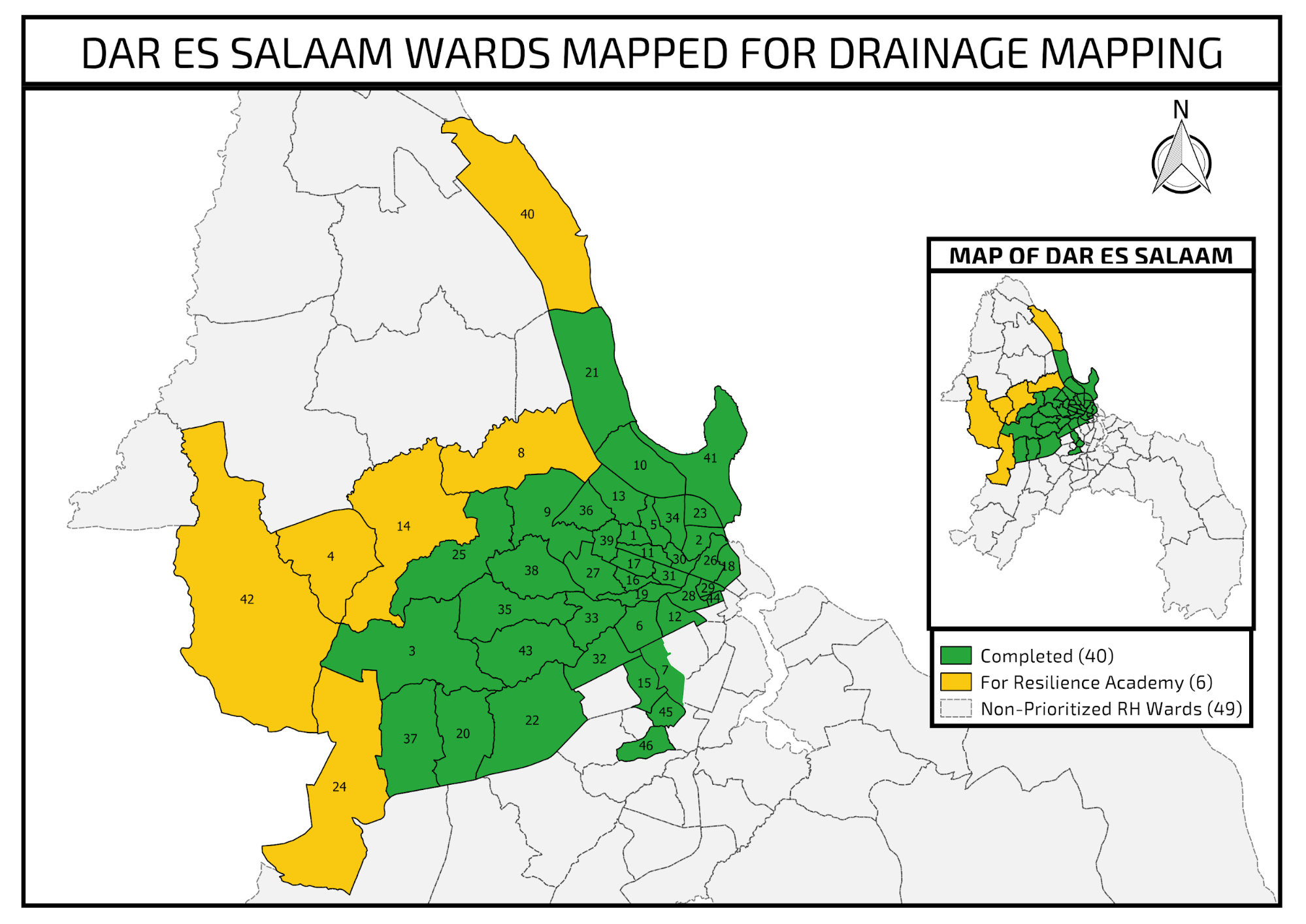
Wards mapped by Ramani Huria
File history
Click on a date/time to view the file as it appeared at that time.
| Date/Time | Thumbnail | Dimensions | User | Comment | |
|---|---|---|---|---|---|
| current | 10:49, 8 October 2019 | | 1,999 × 1,414 (488 KB) | Hawa (talk | contribs) |
You cannot overwrite this file.
File usage
The following page uses this file: