File:Dscf0385 600.jpg
Jump to navigation
Jump to search

No higher resolution available.
Dscf0385_600.jpg (600 × 450 pixels, file size: 46 KB, MIME type: image/jpeg)
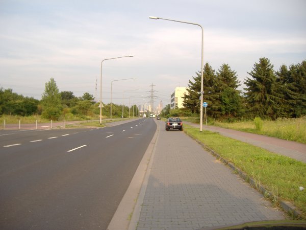
Frankfurt/Main - Wilhelm-Fay-Straße - industrial area (N50.12710/E8.58292) Example for a primary road with parking lane and separated footway/cycleway
File history
Click on a date/time to view the file as it appeared at that time.
| Date/Time | Thumbnail | Dimensions | User | Comment | |
|---|---|---|---|---|---|
| current | 22:50, 9 October 2006 | | 600 × 450 (46 KB) | FrankM (talk | contribs) | Frankfurt/Main - Wilhelm-Fay-Straße - industrial area (N50.12710/E8.58292) Example for a primary road with parking lane and separated footway/cycleway |
You cannot overwrite this file.
File usage
The following 9 pages use this file: