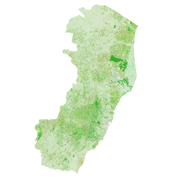
File:ES uso-solo-GEOBASES-2008.png
Jump to navigation
Jump to search

No higher resolution available.
ES_uso-solo-GEOBASES-2008.png (570 × 569 pixels, file size: 283 KB, MIME type: image/png)
Arquivo que mostra as feições de usos do solo, proveniente de arquivo governamental.
File history
Click on a date/time to view the file as it appeared at that time.
| Date/Time | Thumbnail | Dimensions | User | Comment | |
|---|---|---|---|---|---|
| current | 15:15, 6 June 2017 | | 570 × 569 (283 KB) | LucFreitas (talk | contribs) | Corte mais apropriado |
| 13:36, 6 June 2017 | 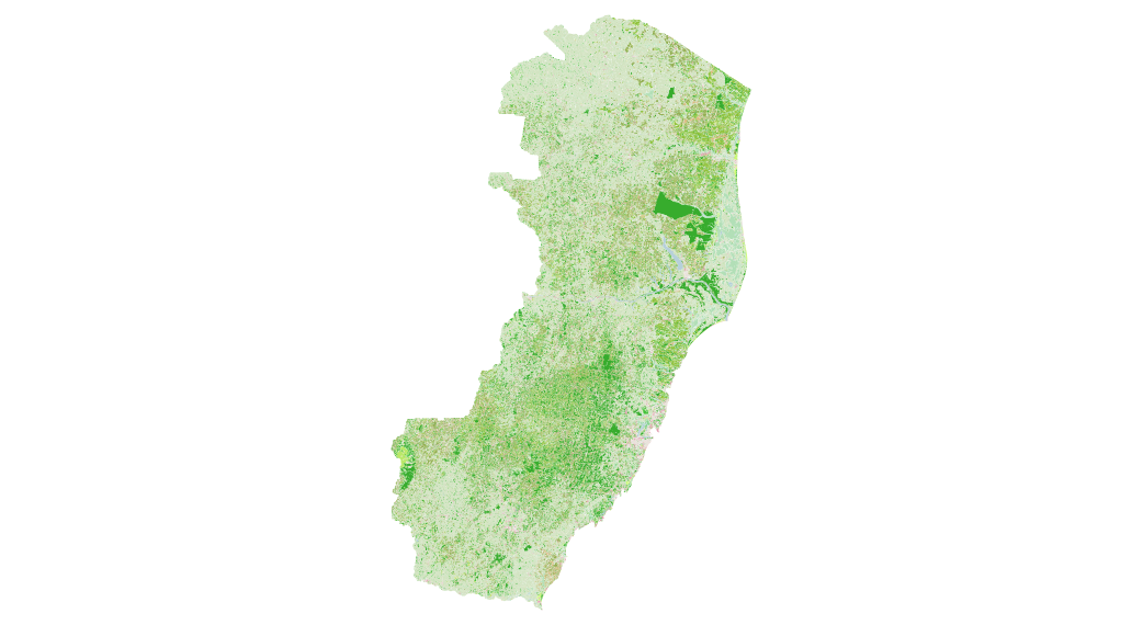 | 1,042 × 570 (275 KB) | LucFreitas (talk | contribs) |
You cannot overwrite this file.
File usage
The following page uses this file: