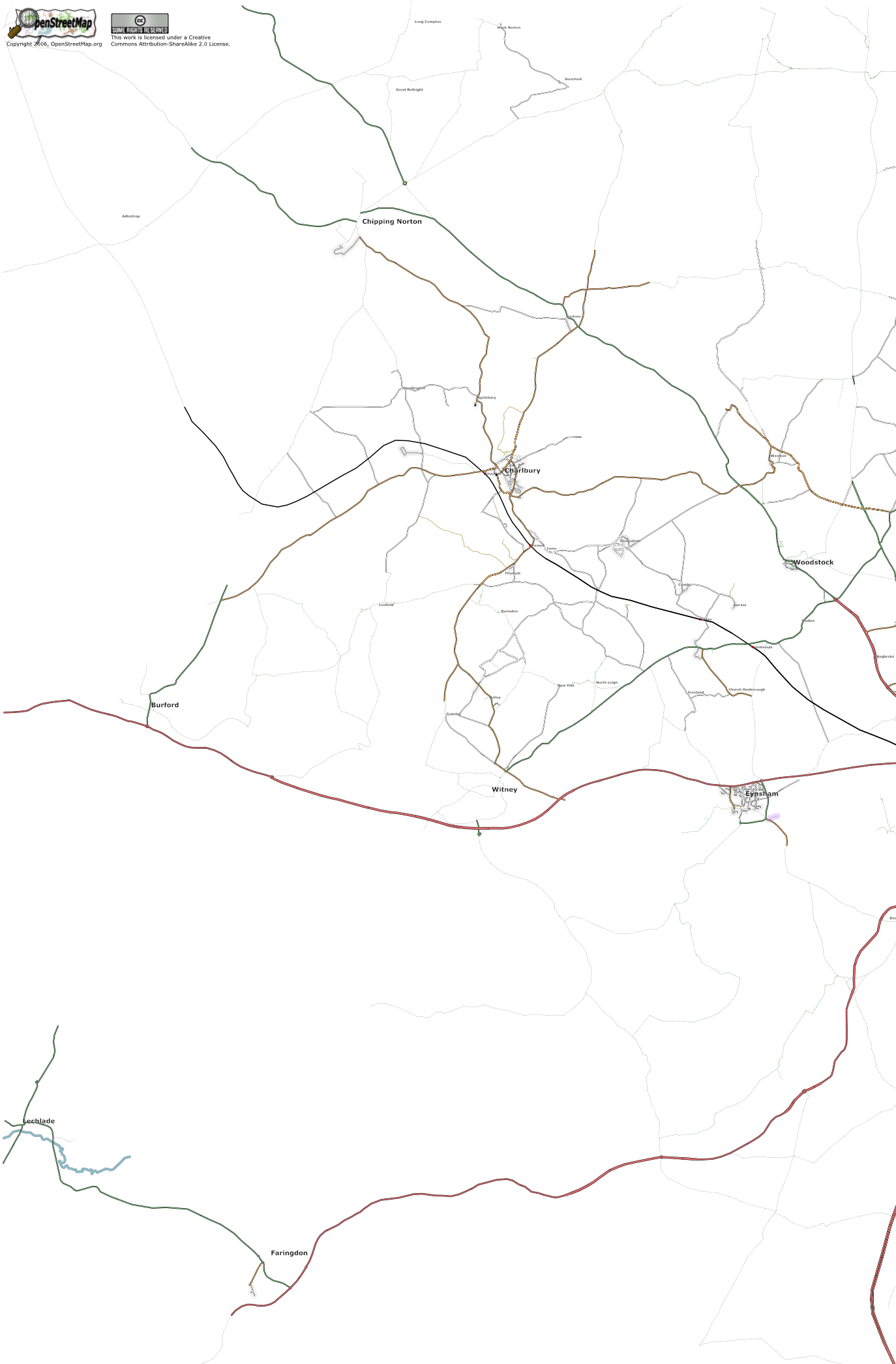
File:East-Cotswolds-20060903.png
Jump to navigation
Jump to search

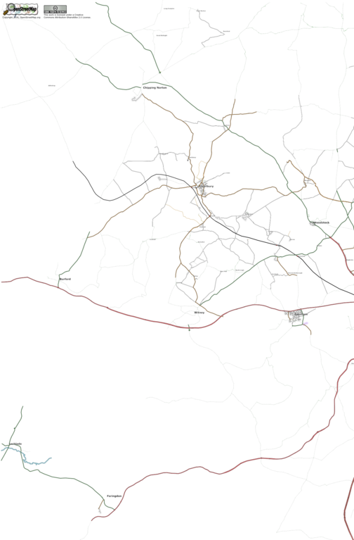
Size of this preview: 394 × 600 pixels. Other resolutions: 158 × 240 pixels | 315 × 480 pixels | 504 × 768 pixels | 673 × 1,024 pixels | 1,374 × 2,091 pixels.
Original file (1,374 × 2,091 pixels, file size: 475 KB, MIME type: image/png)
SVG map of the east cotswolds, as of Sunday 3rd September 2006
File history
Click on a date/time to view the file as it appeared at that time.
| Date/Time | Thumbnail | Dimensions | User | Comment | |
|---|---|---|---|---|---|
| current | 18:39, 3 September 2006 | | 1,374 × 2,091 (475 KB) | Gagravarr (talk | contribs) | SVG map of the east cotswolds, as of Sunday 3rd September 2006 |
You cannot overwrite this file.
File usage
There are no pages that use this file.