File:Efa using osm.png
Jump to navigation
Jump to search

No higher resolution available.
Efa_using_osm.png (447 × 389 pixels, file size: 152 KB, MIME type: image/png)
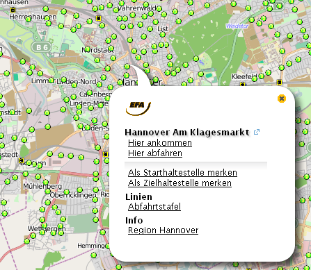
http://efa.de/gvh/mapclient.html?zoom=12&lat=6849139.4035&lon=1172305.89692&layers=B0TT
Elektronische Fahrplanauskunft screenshot
Licensing
![]()
Contains map data © OpenStreetMap contributors, made available under the terms of the Creative Commons Attribution-ShareAlike 2.0 (CC-BY-SA-2.0).
File history
Click on a date/time to view the file as it appeared at that time.
| Date/Time | Thumbnail | Dimensions | User | Comment | |
|---|---|---|---|---|---|
| current | 16:33, 5 August 2010 | | 447 × 389 (152 KB) | !i! (talk | contribs) | |
| 09:33, 5 August 2009 | 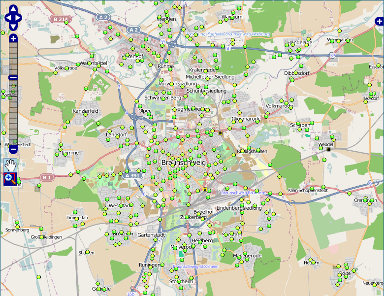 | 780 × 601 (385 KB) | Fröstel (talk | contribs) | http://efa.de/gvh/mapclient.html?zoom=12&lat=6849139.4035&lon=1172305.89692&layers=B0TT |
You cannot overwrite this file.