File:Emergency access point ka.jpg
Jump to navigation
Jump to search

Size of this preview: 750 × 600 pixels. Other resolutions: 300 × 240 pixels | 600 × 480 pixels | 960 × 768 pixels.
Original file (960 × 768 pixels, file size: 116 KB, MIME type: image/jpeg)
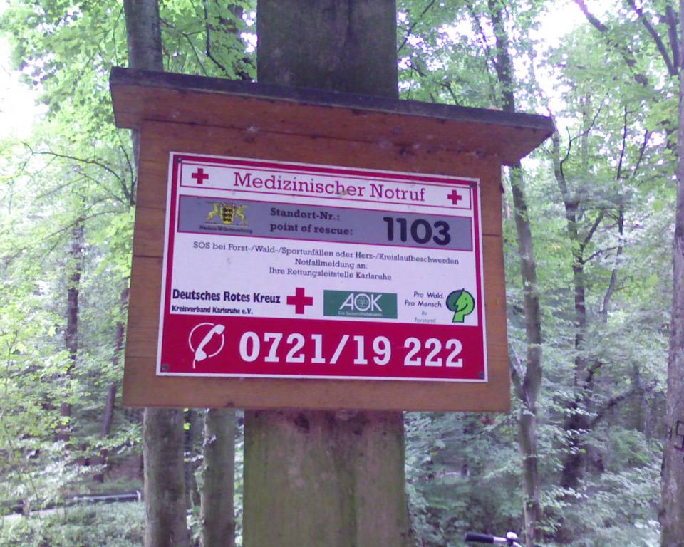
Emergency Access Point near Karlsruhe at 49.1365428 / 8.4555682 - http://www.informationfreeway.org/?lat=49.13628735567397&lon=8.455906498680578&zoom=17&layers=B000F000F (Node 292685592![]() Node 292685592)
with ref=1103 and phone=+49-721-19222
Source: Own photography
Node 292685592)
with ref=1103 and phone=+49-721-19222
Source: Own photography
File history
Click on a date/time to view the file as it appeared at that time.
| Date/Time | Thumbnail | Dimensions | User | Comment | |
|---|---|---|---|---|---|
| current | 13:15, 1 September 2008 | | 960 × 768 (116 KB) | Florianschmitt (talk | contribs) | Emergency Access Point near Karlsruhe at 49.1366 / 8.4555 - http://www.informationfreeway.org/?lat=49.13628735567397&lon=8.455906498680578&user=florian&zoom=17&layers=B000F000F with ref=1103 and phone=+49-721-19222 Source: Own photography - licensed as pu |
You cannot overwrite this file.
File usage
The following page uses this file: