File:Essershausen, Stollenportal der Grube Fritz.JPG
Jump to navigation
Jump to search

Size of this preview: 800 × 530 pixels. Other resolutions: 320 × 212 pixels | 640 × 424 pixels | 1,024 × 678 pixels | 1,280 × 848 pixels | 2,560 × 1,696 pixels | 4,928 × 3,264 pixels.
Original file (4,928 × 3,264 pixels, file size: 10.99 MB, MIME type: image/jpeg)
This file and its description are from Wikimedia Commons.
Summary
| Description |
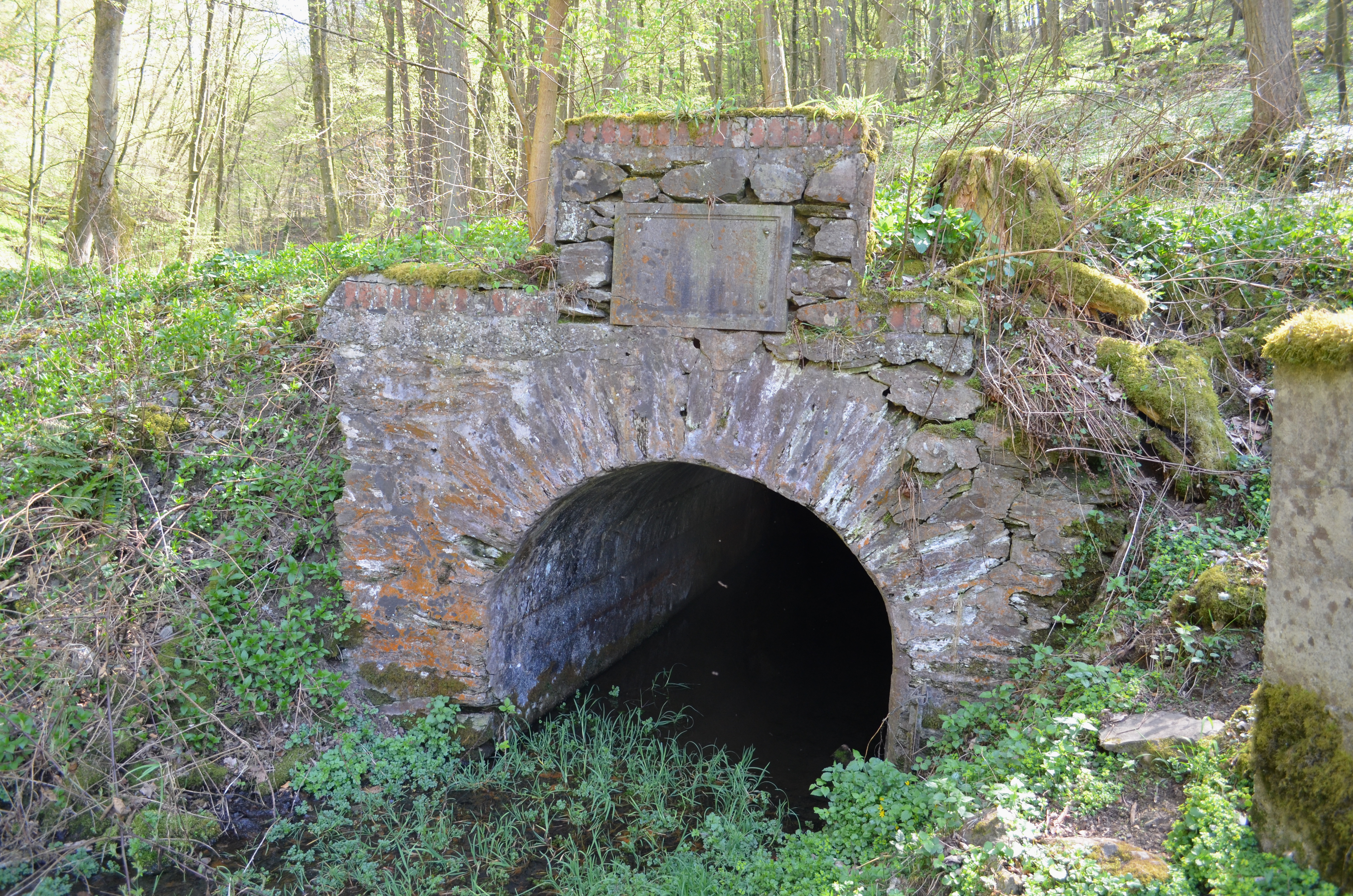
Deutsch: Essershausen, Stollenportal der Grube Fritz |
| Date | |
| Source | Own work |
| Author | Karsten Ratzke |
| Object location | | View this and other nearby images on: OpenStreetMap |
|---|
This is a picture of the Hessian Kulturdenkmal (cultural monument) with the ID 52673 (Wikidata)
|
Licensing
I, the copyright holder of this work, hereby publish it under the following license:
| This file is made available under the Creative Commons CC0 1.0 Universal Public Domain Dedication. | |
| The person who associated a work with this deed has dedicated the work to the public domain by waiving all of their rights to the work worldwide under copyright law, including all related and neighboring rights, to the extent allowed by law. You can copy, modify, distribute and perform the work, even for commercial purposes, all without asking permission.
|
File history
Click on a date/time to view the file as it appeared at that time.
| Date/Time | Thumbnail | Dimensions | User | Comment | |
|---|---|---|---|---|---|
| current | 13:15, 20 April 2015 | | 4,928 × 3,264 (10.99 MB) | wikimediacommons>Karsten11 | User created page with UploadWizard |
File usage
The following page uses this file: