File:Fahrrad-stadtplan.eu.png
Jump to navigation
Jump to search

No higher resolution available.
Fahrrad-stadtplan.eu.png (600 × 600 pixels, file size: 263 KB, MIME type: image/png)
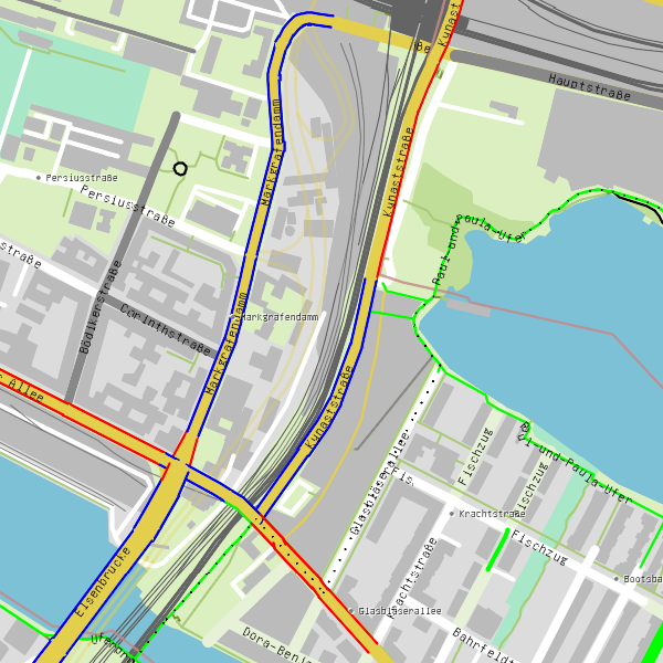
Summary
Rendering of cycleways (red), bikelanes (blue) and paths where cycling is allowed (red). This map is also available on Cartogiraffe (worldwide) and Kartogiraffe (DE, AT).
Licensing
| Contains map data © OpenStreetMap contributors, made available under the terms of the Open Database License (ODbL).
The ODbL does not require any particular license for maps produced from ODbL data, produced maps may be subject also to other licences. |
File history
Click on a date/time to view the file as it appeared at that time.
| Date/Time | Thumbnail | Dimensions | User | Comment | |
|---|---|---|---|---|---|
| current | 14:16, 7 July 2015 | | 600 × 600 (263 KB) | Bahnbilder (talk | contribs) | Rendering of cycleways (red), bikelanes (blue) and paths where cycling is allowed (red). |
You cannot overwrite this file.
File usage
The following 7 pages use this file: