File:Fano model aerodrome detail.png
Jump to navigation
Jump to search


Size of this preview: 800 × 588 pixels. Other resolutions: 320 × 235 pixels | 640 × 470 pixels | 1,024 × 753 pixels | 1,193 × 877 pixels.
Original file (1,193 × 877 pixels, file size: 876 KB, MIME type: image/png)
Summary
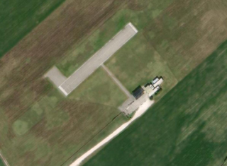
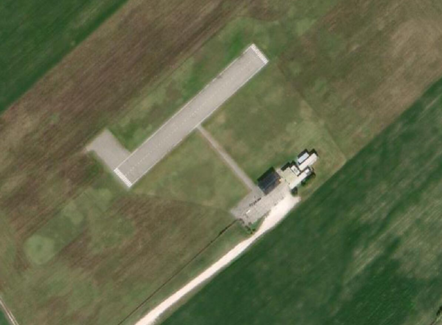
Maxar Standard Imagery (Beta) screenshot from Josm.
Licensing
![]()
This file is a screenshot of the software JOSM, with imagery in background. It may include OpenStreetMap data, in such case ODbL license also applies.
Imagery in background:

![]()
"JOSM" (Java OpenStreetMap Editor – josm.openstreetmap.de) is free software released under the terms of the GNU General Public License as published by the Free Software Foundation; either version 2 of the license, or any later version.
![]()
![]()
This image is composed entirely, or almost entirely, of Maxar aerial imagery.
Maxar imagery is not open licensed, but is generously made available to the OpenStreetMap project for deriving open licensed map data. This upload is not certain to covered by permission described at Maxar ("you may only use our imagery to trace, and validate edits that must be contributed back to OSM. You cannot download our imagery or use our imagery for any other purpose.".) Maybe this use can fit under "validate edits"?
This image is a relatively minor extract of the (worldwide) Maxar imagery, used for illustrative purposes on the OpenStreetMap wiki, to help document ways of using and interpreting the imagery in the OpenStreetMap mapping process.
This image is a relatively minor extract of the (worldwide) Maxar imagery, used for illustrative purposes on the OpenStreetMap wiki, to help document ways of using and interpreting the imagery in the OpenStreetMap mapping process.
| Contains map data © OpenStreetMap contributors, made available under the terms of the Open Database License (ODbL).
The ODbL does not require any particular license for maps produced from ODbL data, produced maps may be subject also to other licences. |
File history
Click on a date/time to view the file as it appeared at that time.
| Date/Time | Thumbnail | Dimensions | User | Comment | |
|---|---|---|---|---|---|
| current | 21:30, 2 April 2021 | | 1,193 × 877 (876 KB) | Redrat (talk | contribs) | Maxar Standard Imagery (Beta) screenshot from Josm. |
You cannot overwrite this file.
File usage
The following page uses this file: