File:Field Papers making an atlas.png
Jump to navigation
Jump to search
Size of this preview: 800 × 469 pixels. Other resolutions: 320 × 188 pixels | 640 × 375 pixels | 963 × 565 pixels.
Original file (963 × 565 pixels, file size: 396 KB, MIME type: image/png)
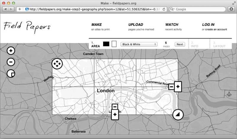
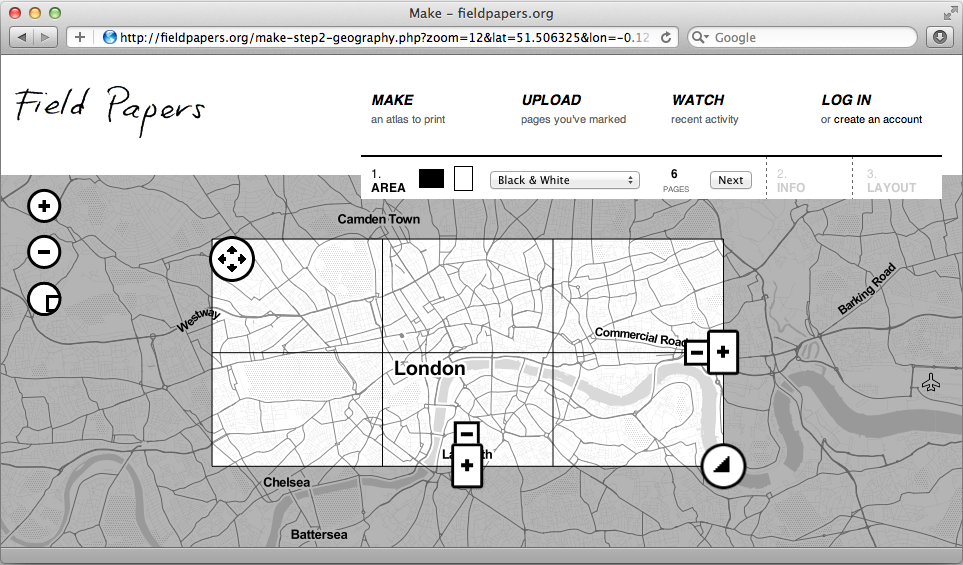
Screenshot to illustrate using Field Papers to make an atlas
Licensing
![]()
Contains map data © OpenStreetMap contributors, made available under the terms of the Creative Commons Attribution-ShareAlike 2.0 (CC-BY-SA-2.0).
File history
Click on a date/time to view the file as it appeared at that time.
| Date/Time | Thumbnail | Dimensions | User | Comment | |
|---|---|---|---|---|---|
| current | 02:40, 25 June 2012 | | 963 × 565 (396 KB) | Harry Wood (talk | contribs) | Screenshot to illustrate using Field Papers to make an atlas |
You cannot overwrite this file.
File usage
The following 12 pages use this file: