File:Freemap combined layer.jpg
Jump to navigation
Jump to search


No higher resolution available.
Freemap_combined_layer.jpg (747 × 519 pixels, file size: 130 KB, MIME type: image/jpeg)
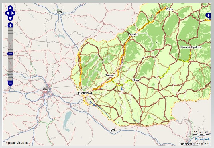
Freemap Slovakia rendered with customized styles and Osmarender extend its map outside Slovakia using OpenStreetMap's Mapnik layer with on-the-fly-stitching of its own and mapnik tiles for tiles near national boundaries of Slovakia into one browsable slippy map.
This is a Featured image, which means that it has been identified as one of the best examples of OpenStreetMap mapping, or that it provides a useful illustration of the OpenStreetMap project. If you know another image of similar quality, you can nominate it on Featured image proposals.
Front-page image on 10 May 2008
![]()
Contains map data © OpenStreetMap contributors, made available under the terms of the Creative Commons Attribution-ShareAlike 2.0 (CC-BY-SA-2.0).
File history
Click on a date/time to view the file as it appeared at that time.
| Date/Time | Thumbnail | Dimensions | User | Comment | |
|---|---|---|---|---|---|
| current | 12:04, 28 April 2008 | | 747 × 519 (130 KB) | Dodi (talk | contribs) |
You cannot overwrite this file.
File usage
The following 2 pages use this file: