File:Friedrichshafen.png
Jump to navigation
Jump to search

No higher resolution available.
Friedrichshafen.png (519 × 423 pixels, file size: 211 KB, MIME type: image/png)
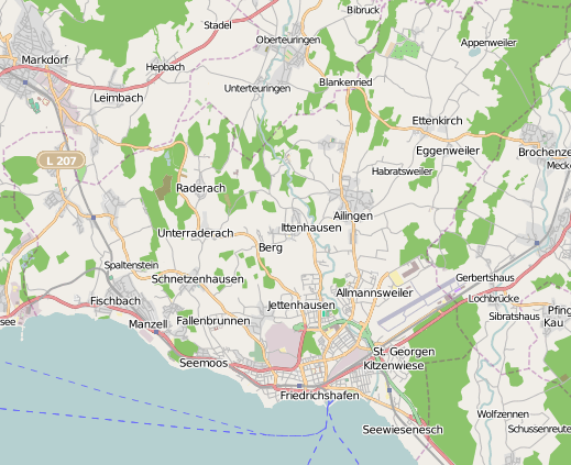
Friedrichshafen/Germany
Licensing
![]()
![]()
![]()
This screenshot contains OpenStreetMap Carto rendering.
The OpenStreetMap Carto map style is made available under the Creative Commons CC-0 1.0 Universal Public Domain Dedication.
- Attribution to the map data:
![]()
Contains map data © OpenStreetMap contributors, made available under the terms of the Creative Commons Attribution-ShareAlike 2.0 (CC-BY-SA-2.0).
File history
Click on a date/time to view the file as it appeared at that time.
| Date/Time | Thumbnail | Dimensions | User | Comment | |
|---|---|---|---|---|---|
| current | 18:16, 28 September 2010 | | 519 × 423 (211 KB) | NetCuRli (talk | contribs) | new version, now with Mapnik and whole area of Friedrichshafen |
| 19:00, 11 January 2008 | 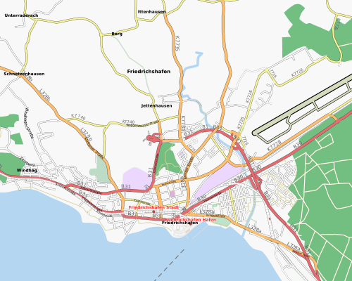 | 500 × 400 (147 KB) | NetCuRli (talk | contribs) | ||
| 16:27, 29 October 2007 | 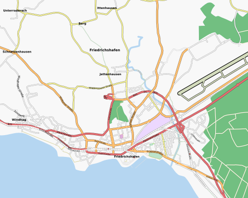 | 500 × 400 (126 KB) | NetCuRli (talk | contribs) | ||
| 17:28, 28 May 2007 | 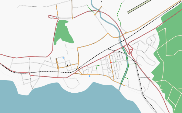 | 600 × 372 (112 KB) | NetCuRli (talk | contribs) | ||
| 11:43, 12 May 2007 | 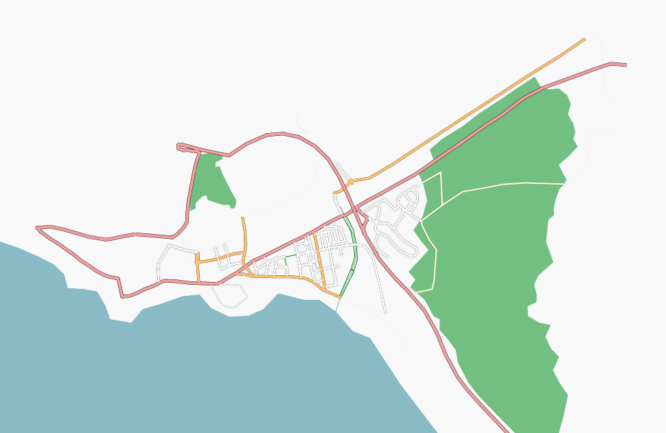 | 970 × 631 (107 KB) | NetCuRli (talk | contribs) | Friedrichshafen/Germany rendered with Osmarender | |
| 09:55, 12 May 2007 | 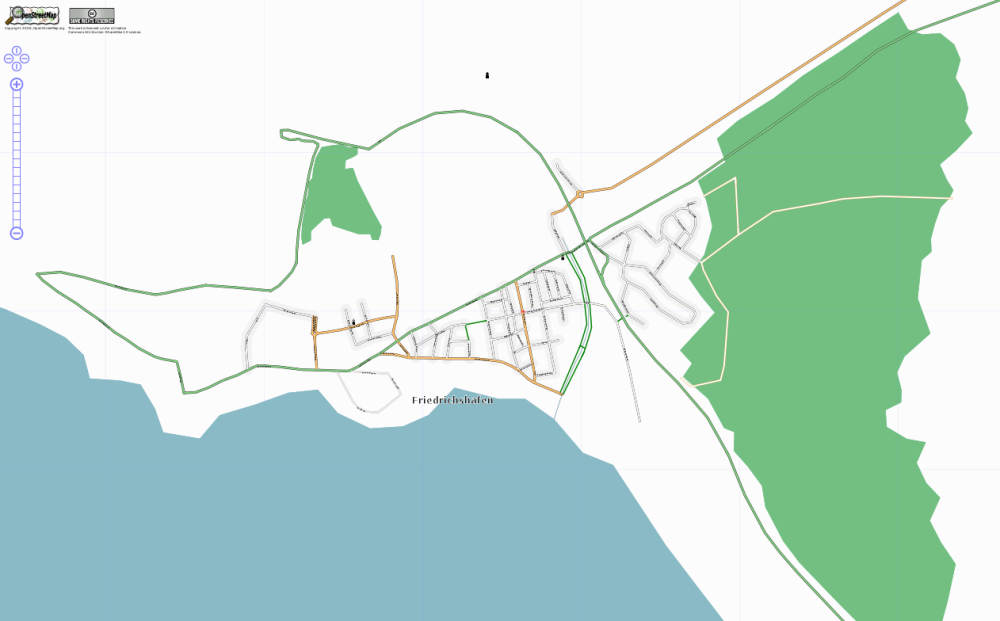 | 1,000 × 621 (145 KB) | NetCuRli (talk | contribs) | Friedrichshafen/Germany rendered with Osmarender |
You cannot overwrite this file.
File usage
The following page uses this file: