File:GARV - Indian Government dashboard for rural electrification using OpenStreetMap.png
Jump to navigation
Jump to search

Size of this preview: 800 × 426 pixels. Other resolutions: 320 × 170 pixels | 640 × 341 pixels | 1,024 × 545 pixels | 1,280 × 681 pixels | 2,548 × 1,356 pixels.
Original file (2,548 × 1,356 pixels, file size: 5.74 MB, MIME type: image/png)
Summary
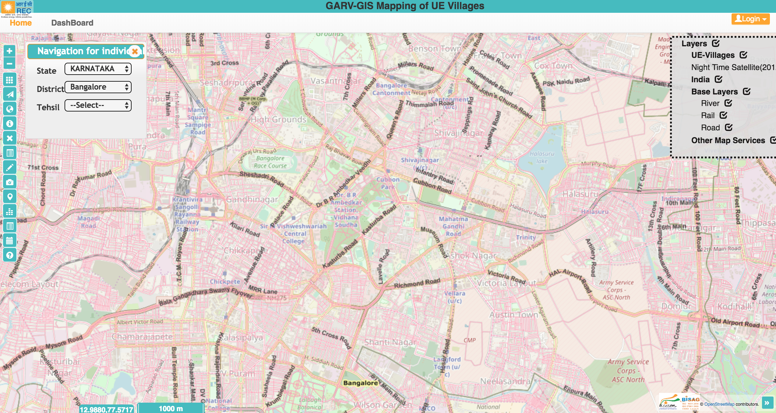
Screenshot from the GARV dashboard to track rural electrification in India using basemaps and road layer from OpenStreetMap.
Licensing
![]()
![]()
![]()
This work is licensed under the Creative Commons Attribution-ShareAlike 3.0 License.
Attribution not specified as a parameter! THIS LICENSE ALWAYS REQUIRES ATTRIBUTION! Use {{CC-BY-SA-3.0|Attribution, typically name of author}} See Template:CC-BY-SA-3.0 for full description how this template should be used.
Attribution not specified as a parameter! THIS LICENSE ALWAYS REQUIRES ATTRIBUTION! Use {{CC-BY-SA-3.0|Attribution, typically name of author}} See Template:CC-BY-SA-3.0 for full description how this template should be used.
File history
Click on a date/time to view the file as it appeared at that time.
| Date/Time | Thumbnail | Dimensions | User | Comment | |
|---|---|---|---|---|---|
| current | 12:24, 13 May 2018 | | 2,548 × 1,356 (5.74 MB) | Planemad (talk | contribs) | Screenshot from the [https://ncog.gov.in/garvgis/login GARV dashboard] to track rural electrification in India using basemaps and road layer from OpenStreetMap. |
You cannot overwrite this file.
File usage
There are no pages that use this file.