File:Geoeye1.png
Jump to navigation
Jump to search

No higher resolution available.
Geoeye1.png (400 × 299 pixels, file size: 92 KB, MIME type: image/png)
Licensing
![]()
![]()
![]()
This screenshot contains OpenStreetMap Carto rendering.
The OpenStreetMap Carto map style is made available under the Creative Commons CC-0 1.0 Universal Public Domain Dedication.
- Attribution to the map data:
![]()
Contains map data © OpenStreetMap contributors, made available under the terms of the Creative Commons Attribution-ShareAlike 2.0 (CC-BY-SA-2.0).
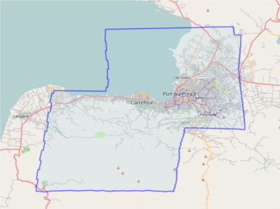
Image boundary for GeoEye imagery for Haiti
File history
Click on a date/time to view the file as it appeared at that time.
| Date/Time | Thumbnail | Dimensions | User | Comment | |
|---|---|---|---|---|---|
| current | 22:13, 18 January 2010 | | 400 × 299 (92 KB) | Gubaer (talk | contribs) | |
| 22:07, 18 January 2010 | 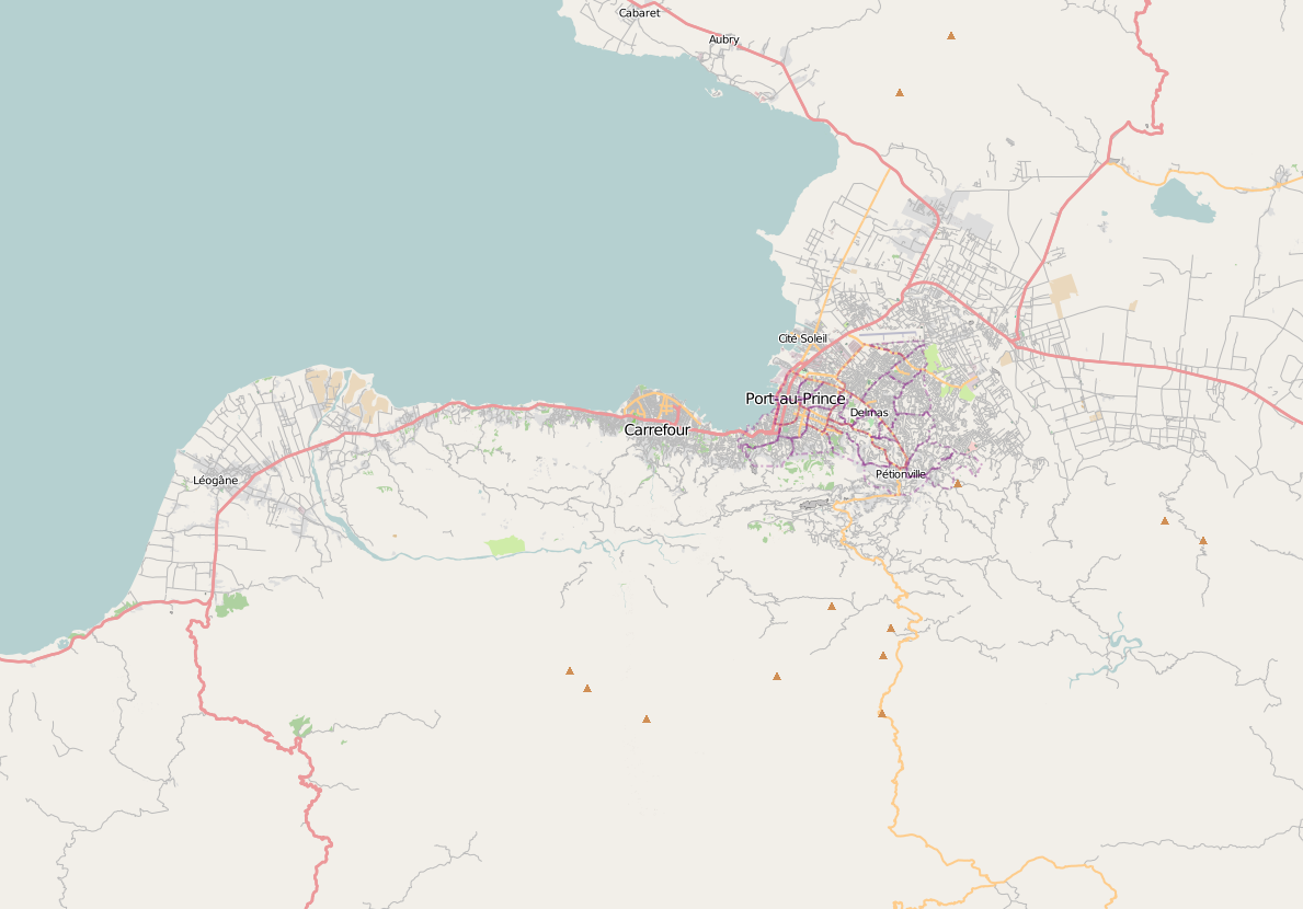 | 1,189 × 830 (276 KB) | Gubaer (talk | contribs) | Image boundary for GeoEye imagery for Haiti |
You cannot overwrite this file.
File usage
The following 3 pages use this file: