File:Go Map!! Street Grid with Aerial.png
Jump to navigation
Jump to search

Size of this preview: 337 × 599 pixels. Other resolutions: 135 × 240 pixels | 270 × 480 pixels | 750 × 1,334 pixels.
Original file (750 × 1,334 pixels, file size: 1.64 MB, MIME type: image/png)
Licensing
![]()
This file has been released into the public domain by the copyright holder, its copyright has expired, or it is ineligible for copyright. This applies worldwide.
Please, please use more specific template such as {{PD-self}} / {{PD-creator}} / {{PD-shape}} / {{PD-USGov}} / {{PD-old}} / {{PD-RU-exempt}} ... This template is not making clear why this work is in the public domain.
Please, please use more specific template such as {{PD-self}} / {{PD-creator}} / {{PD-shape}} / {{PD-USGov}} / {{PD-old}} / {{PD-RU-exempt}} ... This template is not making clear why this work is in the public domain.
| Contains map data © OpenStreetMap contributors, made available under the terms of the Open Database License (ODbL).
The ODbL does not require any particular license for maps produced from ODbL data, produced maps may be subject also to other licences. |
Only minor![]()
portions
Some minor portions of this image feature Bing aerial imagery.
Software screenshots and other illustrations of OpenStreetMap editing processes will often include some Bing imagery.
Bing imagery is not open licensed, but is generously made available to the OpenStreetMap project for deriving open licensed map data.
Such images in the OpenStreetMap wiki may be open licensed only where use of Bing is minor/incidental.
Bing imagery is not open licensed, but is generously made available to the OpenStreetMap project for deriving open licensed map data.
Such images in the OpenStreetMap wiki may be open licensed only where use of Bing is minor/incidental.
File history
Click on a date/time to view the file as it appeared at that time.
| Date/Time | Thumbnail | Dimensions | User | Comment | |
|---|---|---|---|---|---|
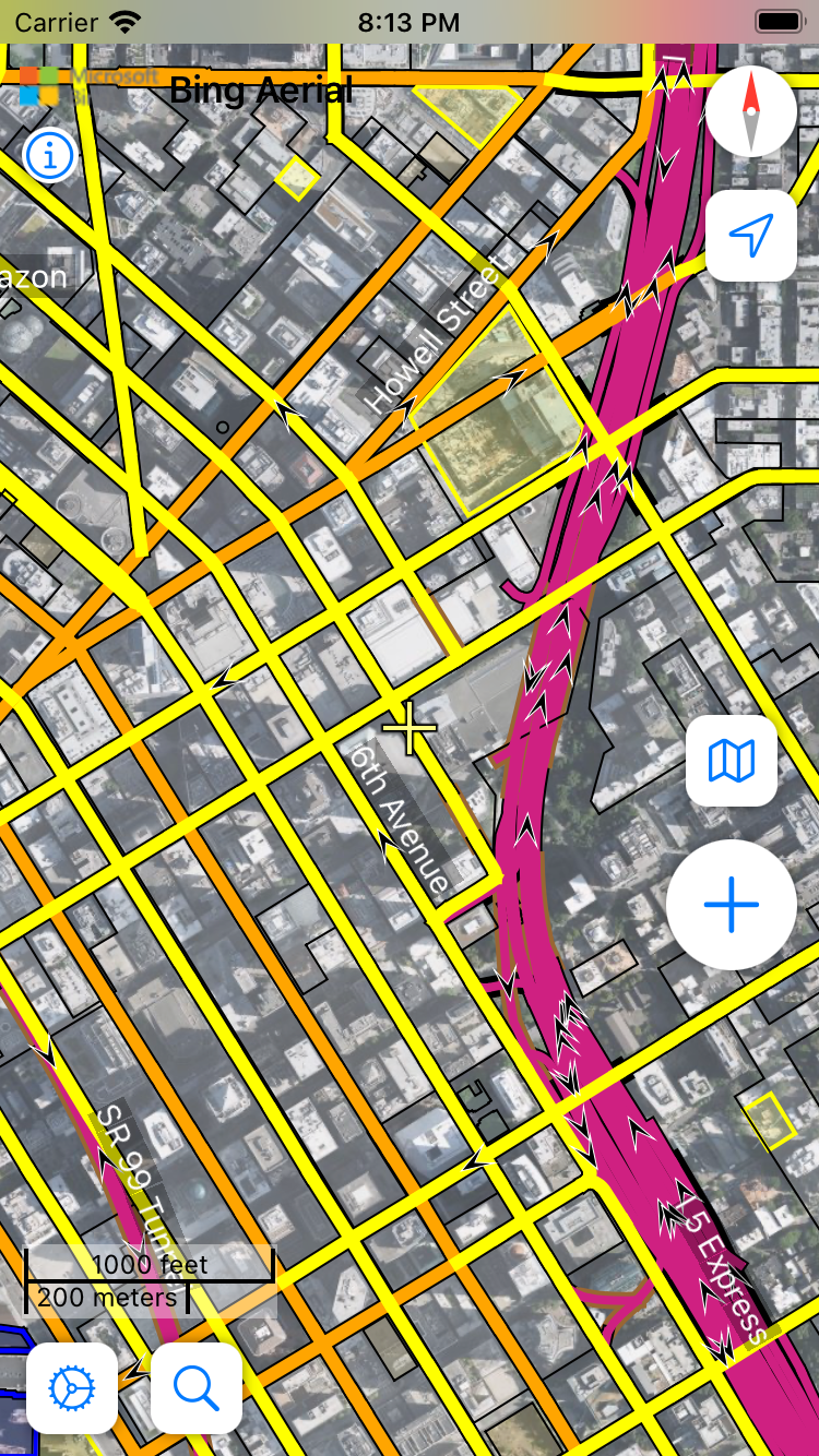
| current | 04:14, 14 December 2022 | | 750 × 1,334 (1.64 MB) | Bryceco (talk | contribs) | Update to 3.1.4 |
| 10:00, 8 October 2014 |  | 640 × 1,136 (1.34 MB) | Jc86035 (talk | contribs) | Updated to 1.2.1 | |
| 16:47, 14 January 2013 |  | 640 × 960 (939 KB) | Bryceco (talk | contribs) |
You cannot overwrite this file.
File usage
The following 7 pages use this file: