This file and its description are from Wikimedia Commons.
DescriptionGreifswald-Wieck Pegel und Pegelstation February-2010 SL273665.JPG
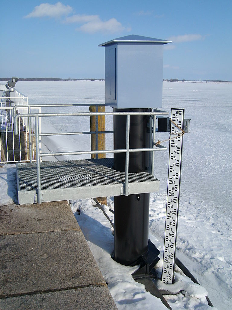
Neuer Pegel an der Nordmole in Greifswald-Wieck; oben die Pegelstation, die die Technik zur Erfassung und Übertragung der Messdaten beinhaltet. Im Hintergrund die zugefrorene Dänische Wiek des Greifswalder Boddens.
to share – to copy, distribute and transmit the work
to remix – to adapt the work
Under the following conditions:
attribution – You must give appropriate credit, provide a link to the license, and indicate if changes were made. You may do so in any reasonable manner, but not in any way that suggests the licensor endorses you or your use.
https://creativecommons.org/licenses/by/3.0/de/deed.enCC BY 3.0 deCreative Commons Attribution 3.0 detruetrue
Captions
Add a one-line explanation of what this file represents
{{Information |Description=Neuer Pegel an der Nordmole in Greifswald-Wieck; oben die Pegelstation, die die Technik zur Erfassung und Übertragung der Messdaten beinhaltet. Im Hintergrund die zugefrorene Dänische Wiek des Greifswalder Boddens. |Source={{o


