File:Guekedou.png
Jump to navigation
Jump to search


Size of this preview: 800 × 584 pixels. Other resolutions: 320 × 234 pixels | 640 × 467 pixels | 1,024 × 748 pixels | 1,280 × 935 pixels | 1,599 × 1,168 pixels.
Original file (1,599 × 1,168 pixels, file size: 1.31 MB, MIME type: image/png)
Summary
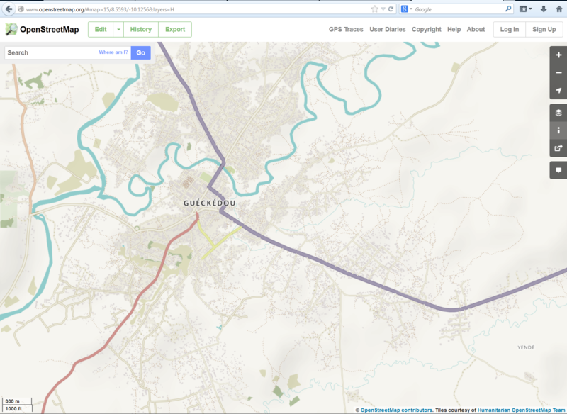
Screen capture of OSM, humanitarian rendering on March 28, 2014
Here is a link to the OSM map in this area.
Licensing
| Contains map data © OpenStreetMap contributors, made available under the terms of the Open Database License (ODbL).
The ODbL does not require any particular license for maps produced from ODbL data, produced maps may be subject also to other licences. |
File history
Click on a date/time to view the file as it appeared at that time.
| Date/Time | Thumbnail | Dimensions | User | Comment | |
|---|---|---|---|---|---|
| current | 16:13, 28 March 2014 | | 1,599 × 1,168 (1.31 MB) | Russdeffner (talk | contribs) | Screen capture of OSM, humanitarian rendering on March 28, 2014 |
You cannot overwrite this file.
File usage
The following 16 pages use this file:
- 2014 West Africa Ebola Response
- 2018 Cyclone Gita - Tonga
- 2018 Papua New Guinea Earthquake
- 2018 South America Flooding
- 2019 Cyclone Kenneth
- Ecuador-Peru Earthquake
- Malaria Elimination
- Peru Earthquake
- Portuguese Wildfire Mapping
- Sunda Strait Tsunami
- Ulawun 2019
- User:Rmayienda/Malaria Elimination
- Template:Pt:Activation
- FR:2014 West Africa Ebola Response
- FR:Template:Activation
- ES:2014 West Africa Ebola Response