File:HF, NRW-Netz, 1.2, Kleinbahn.jpg
HF,_NRW-Netz,_1.2,_Kleinbahn.jpg (200 × 598 pixels, file size: 39 KB, MIME type: image/jpeg)
Summary
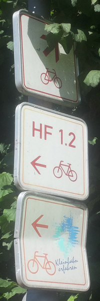
Beispiel für Nebeneinander der verschiedenen Ausschilderungssysteme (Ohne Bezeichnung: Route und Ziel wird nur durch die Beschilderung am Ausgangspunkt angegeben).
- This media file was uploaded by author of the work and its copyright holder.
![]()
![]()
The person who associated a work with this deed has dedicated the work to the public domain by waiving all of his or her rights to the work worldwide under copyright law, including all related and neighboring rights, to the extent allowed by law. You can copy, modify, distribute and perform the work, even for commercial purposes, all without asking permission.
File history
Click on a date/time to view the file as it appeared at that time.
| Date/Time | Thumbnail | Dimensions | User | Comment | |
|---|---|---|---|---|---|
| current | 23:05, 30 December 2021 | 200 × 598 (39 KB) | Segubi (talk | contribs) | Beispiel für Nebeneinander der verschiedenen Ausschilderungssysteme (Ohne Bezeichnung: Route und Ziel wird nur durch die Beschilderung am Ausgangspunkt angegeben). |
You cannot overwrite this file.
File usage
The following page uses this file: