File:Hlubočepy 89.jpg
Jump to navigation
Jump to search

Size of this preview: 800 × 600 pixels. Other resolutions: 320 × 240 pixels | 640 × 480 pixels | 1,024 × 768 pixels | 1,280 × 960 pixels | 2,048 × 1,536 pixels.
Original file (2,048 × 1,536 pixels, file size: 1.3 MB, MIME type: image/jpeg)
This file and its description are from Wikimedia Commons.
| Description |
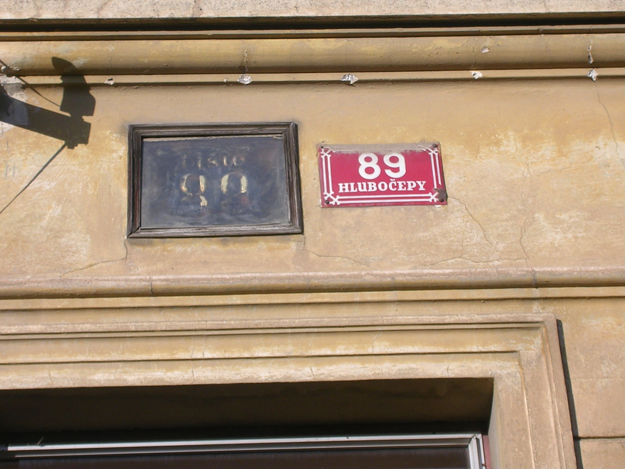
Čeština: Domovní čísla, Praha, Hlubočepy, ulice K Dalejím. |
||
| Date | |||
| Source | Self-photographed | ||
| Author | cs:User:ŠJů | ||
| Permission (Reusing this file) |
|
| Camera location | | View this and other nearby images on: OpenStreetMap |
|---|
File history
Click on a date/time to view the file as it appeared at that time.
| Date/Time | Thumbnail | Dimensions | User | Comment | |
|---|---|---|---|---|---|
| current | 06:22, 18 May 2007 | | 2,048 × 1,536 (1.3 MB) | wikimediacommons>ŠJů | {{Information |Description={{cs|Domovní čísla, Praha, Hlubočepy, ulice K Dalejím.}} |Date=17.04.2006 |Source={{cs|vlastní fotografie}} {{en|own work}} |Author=cs:User:ŠJů |Permission={{cs|viz níže}} {{en|see below}} }} == Lic |
File usage
There are no pages that use this file.