File:Hoek van holland vuurtoren.jpg
Jump to navigation
Jump to search


Size of this preview: 450 × 600 pixels. Other resolutions: 180 × 240 pixels | 360 × 480 pixels | 900 × 1,200 pixels.
Original file (900 × 1,200 pixels, file size: 272 KB, MIME type: image/jpeg)
This file and its description are from Wikimedia Commons.
|
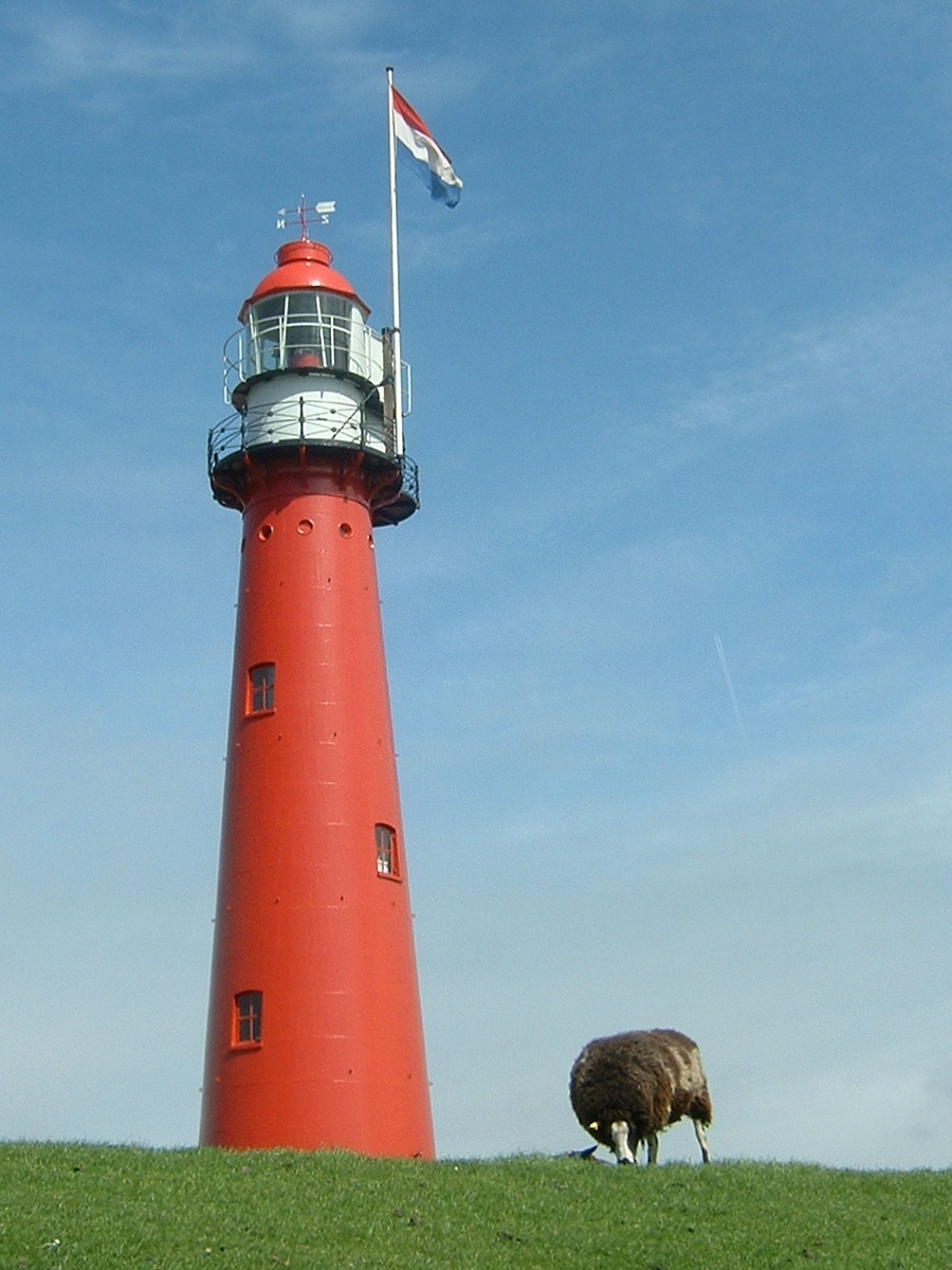
This is an image of rijksmonument number 32907 Information from structured data: |
Netherlands: Hoek van Holland lighthouse. Own photo, May 5, 2005.
This file is licensed under the Creative Commons Attribution 1.0 Generic license.
- You are free:
- to share – to copy, distribute and transmit the work
- to remix – to adapt the work
- Under the following conditions:
- attribution – You must give appropriate credit, provide a link to the license, and indicate if changes were made. You may do so in any reasonable manner, but not in any way that suggests the licensor endorses you or your use.
- Name: Hoek van Holland "hoog", 51°58.500' N 4°07.500' E
- built: 1893
- in use: until 1974
- status: monument, home of the Dutch Coastal Lighting Museum.
| Camera location | | View this and other nearby images on: OpenStreetMap |
|---|
File history
Click on a date/time to view the file as it appeared at that time.
| Date/Time | Thumbnail | Dimensions | User | Comment | |
|---|---|---|---|---|---|
| current | 14:08, 5 May 2005 | | 900 × 1,200 (272 KB) | wikimediacommons>Quistnix | Netherlands: Hoek van Holland lighthouse. Own photo, May 5, 2005. {{CC-BY}} |
File usage
The following page uses this file: