File:Imgsat-river plus riverbank.jpg
Jump to navigation
Jump to search

Size of this preview: 554 × 600 pixels. Other resolutions: 222 × 240 pixels | 443 × 480 pixels | 712 × 771 pixels.
Original file (712 × 771 pixels, file size: 103 KB, MIME type: image/jpeg)
Summary
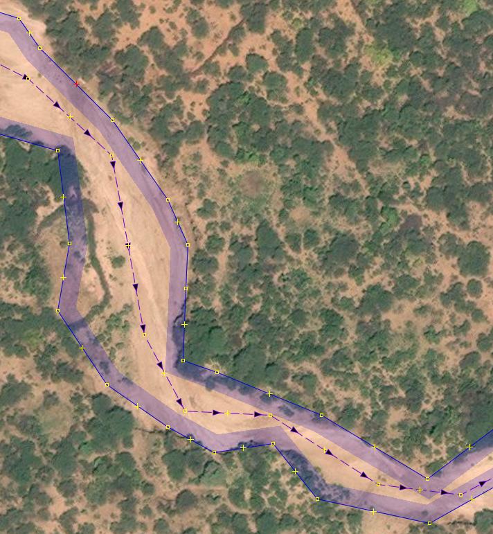
A river with its riverbank drawed within JOSM
File history
Click on a date/time to view the file as it appeared at that time.
| Date/Time | Thumbnail | Dimensions | User | Comment | |
|---|---|---|---|---|---|
| current | 14:11, 30 January 2019 | | 712 × 771 (103 KB) | UNGSC-DTLM-Ale Zena (talk | contribs) | A river with its riverbank drawed within JOSM |
You cannot overwrite this file.
File usage
The following page uses this file: