File:Improvements to waterways around Gubbi, Karnataka.gif
Jump to navigation
Jump to search
Size of this preview: 800 × 504 pixels. Other resolutions: 320 × 201 pixels | 640 × 403 pixels | 969 × 610 pixels.
Original file (969 × 610 pixels, file size: 605 KB, MIME type: image/gif, looped, 7 frames, 7.7 s)
Summary
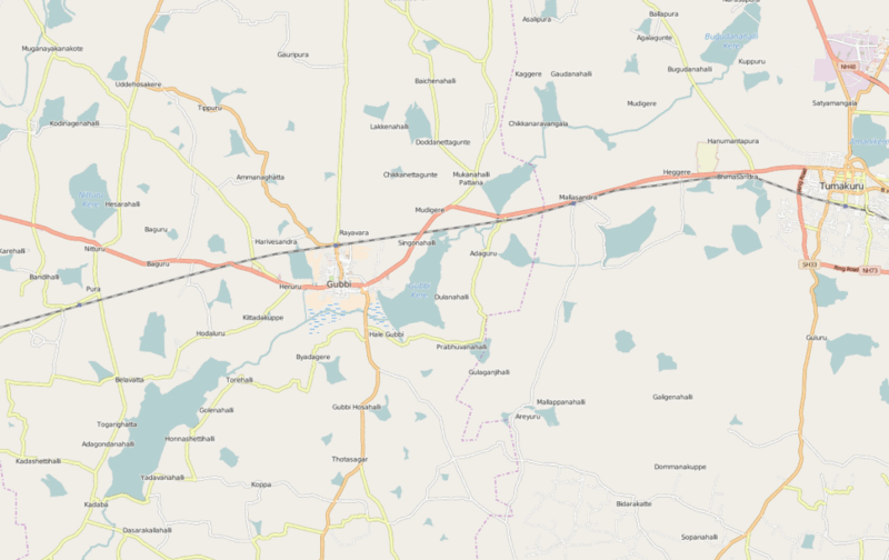
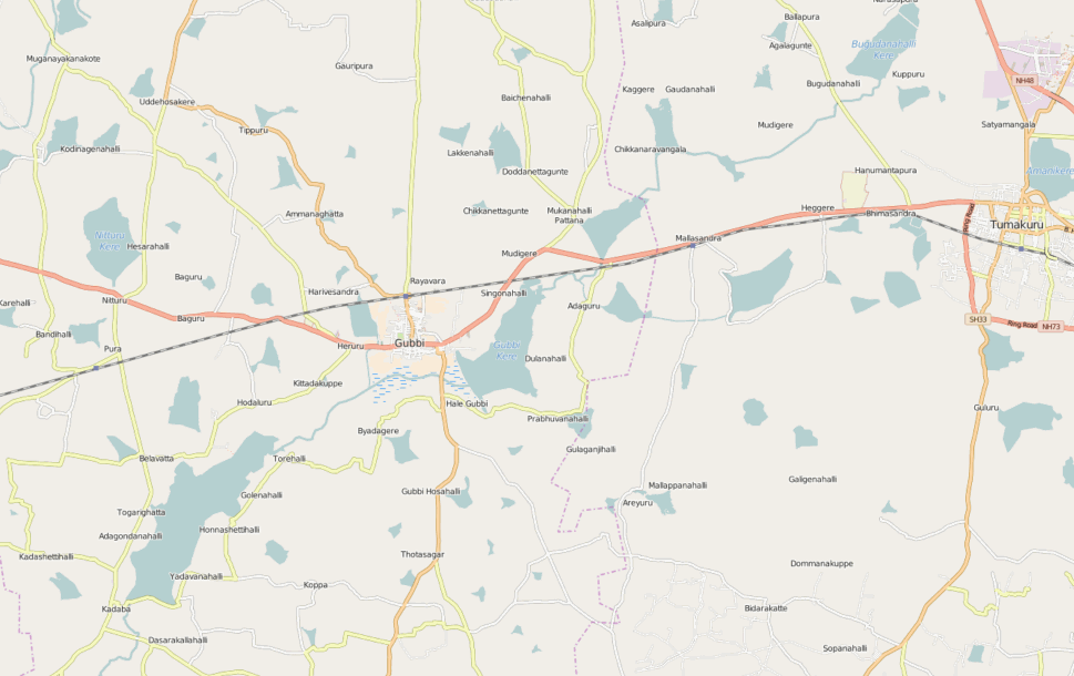
Improving waterway connections and road classifications near Gubbi, Karnataka using satellite imagery. Improvements done over 2 hours.
Licensing
![]()
![]()
This screenshot contains OpenStreetMap Carto rendering.
The OpenStreetMap Carto map style is made available under the Creative Commons CC-0 1.0 Universal Public Domain Dedication.
- Attribution to the map data:
| Contains map data © OpenStreetMap contributors, made available under the terms of the Open Database License (ODbL).
The ODbL does not require any particular license for maps produced from ODbL data, produced maps may be subject also to other licences. |
File history
Click on a date/time to view the file as it appeared at that time.
| Date/Time | Thumbnail | Dimensions | User | Comment | |
|---|---|---|---|---|---|
| current | 11:59, 1 March 2016 | | 969 × 610 (605 KB) | Planemad (talk | contribs) | Improving waterway connections and road classifications near Gubbi, Karnataka using satellite imagery. Improvements done over 2 hours. |
You cannot overwrite this file.
File usage
There are no pages that use this file.