File:Intergeo-2015-Frederik-Ramm-Tileserver-Vortrag-2-0017.jpg
Jump to navigation
Jump to search

Size of this preview: 800 × 532 pixels. Other resolutions: 320 × 213 pixels | 640 × 425 pixels | 1,024 × 681 pixels | 1,280 × 851 pixels | 2,560 × 1,702 pixels | 4,302 × 2,860 pixels.
Original file (4,302 × 2,860 pixels, file size: 4.74 MB, MIME type: image/jpeg)
Summary
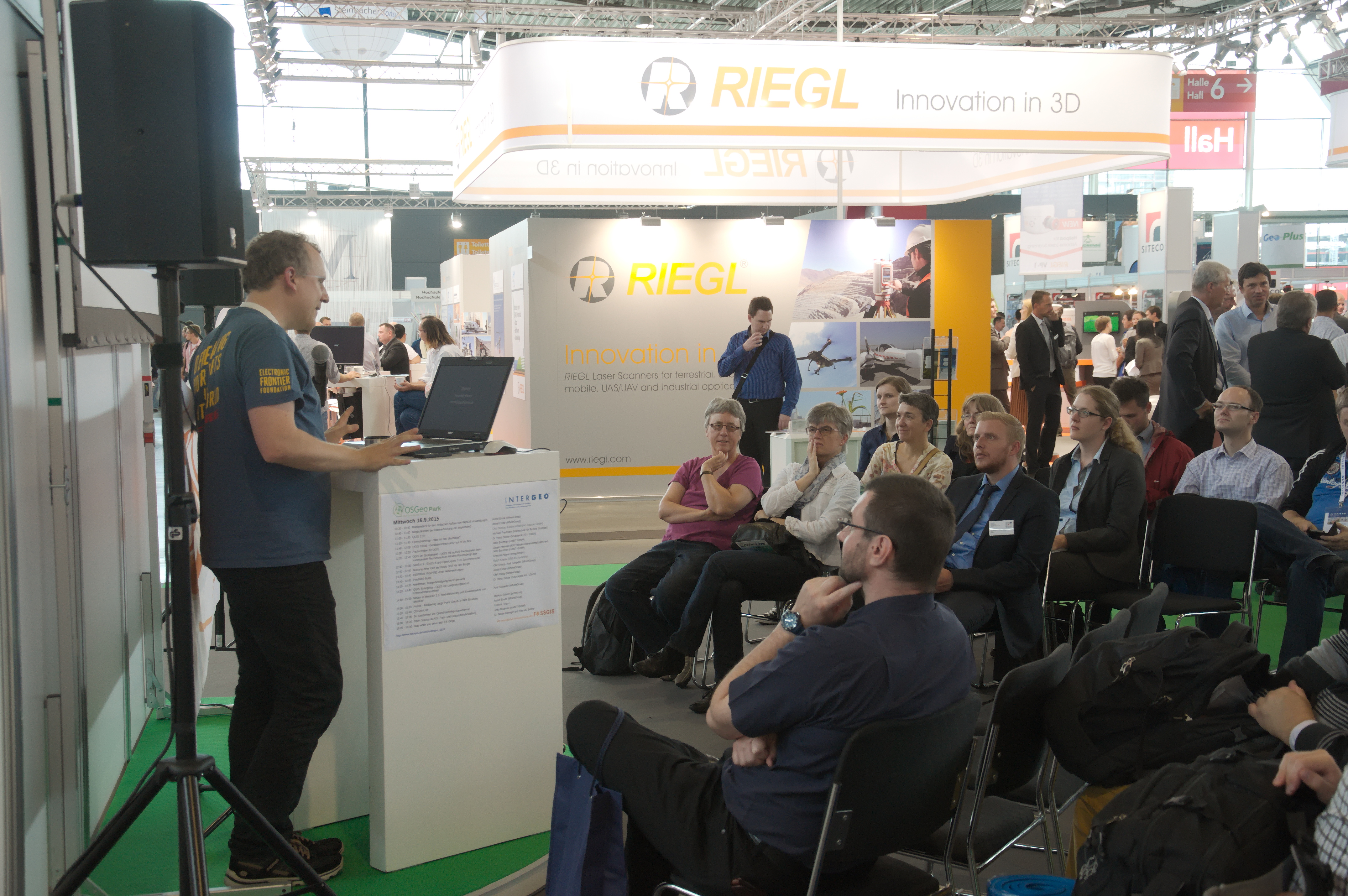
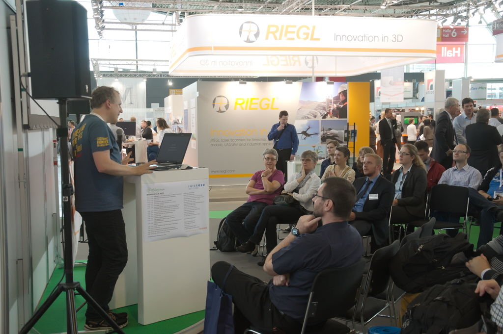
Vortrag von Frederik Ramm im OSGeo-Park auf der Intergeo 2015 auf dem Stuttgarter Messegelände zu "Wie funktioniert ein OpenStreetMap-Tileserver?"
talk by Frederik Ramm at OSGeo Park at Intergeo 2015 at Stuttgart Exhibiton Grounds about "How does an OpenStreetMap tileserver work?"
Licensing
![]()
![]()
![]()
This work is licensed under the Creative Commons Attribution-ShareAlike 3.0 License.
Attribution not specified as a parameter! THIS LICENSE ALWAYS REQUIRES ATTRIBUTION! Use {{CC-BY-SA-3.0|Attribution, typically name of author}} See Template:CC-BY-SA-3.0 for full description how this template should be used.
Attribution not specified as a parameter! THIS LICENSE ALWAYS REQUIRES ATTRIBUTION! Use {{CC-BY-SA-3.0|Attribution, typically name of author}} See Template:CC-BY-SA-3.0 for full description how this template should be used.
File history
Click on a date/time to view the file as it appeared at that time.
| Date/Time | Thumbnail | Dimensions | User | Comment | |
|---|---|---|---|---|---|
| current | 20:29, 22 September 2015 | | 4,302 × 2,860 (4.74 MB) | Nakaner (talk | contribs) | Vortrag von Frederik Ramm im OSGeo-Park auf der Intergeo 2015 auf dem Stuttgarter Messegelände zu "Wie funktioniert ein OpenStreetMap-Tileserver?" talk by Frederik Ramm at OSGeo Park at Intergeo 2015 at S... |
You cannot overwrite this file.
File usage
There are no pages that use this file.